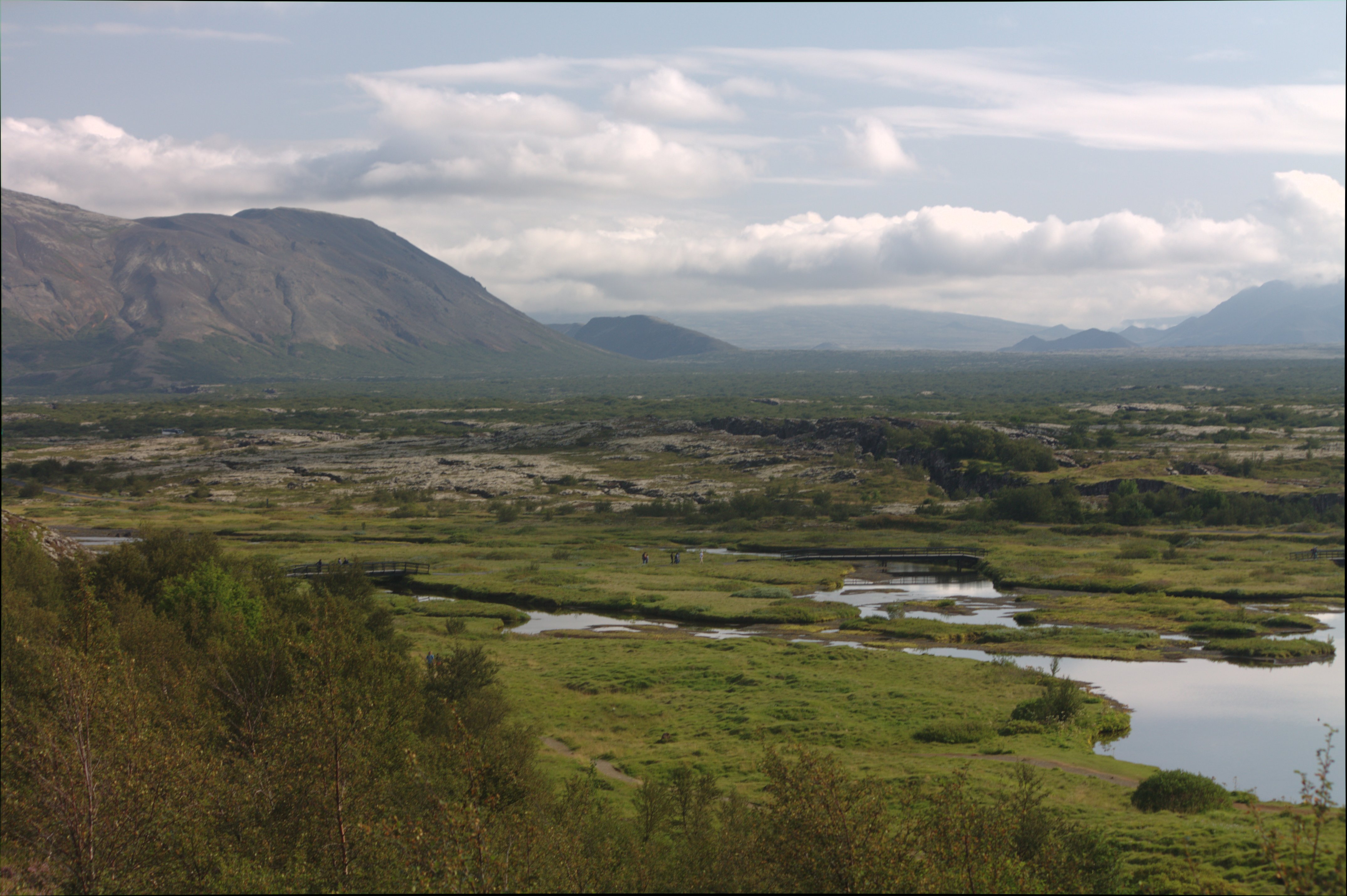
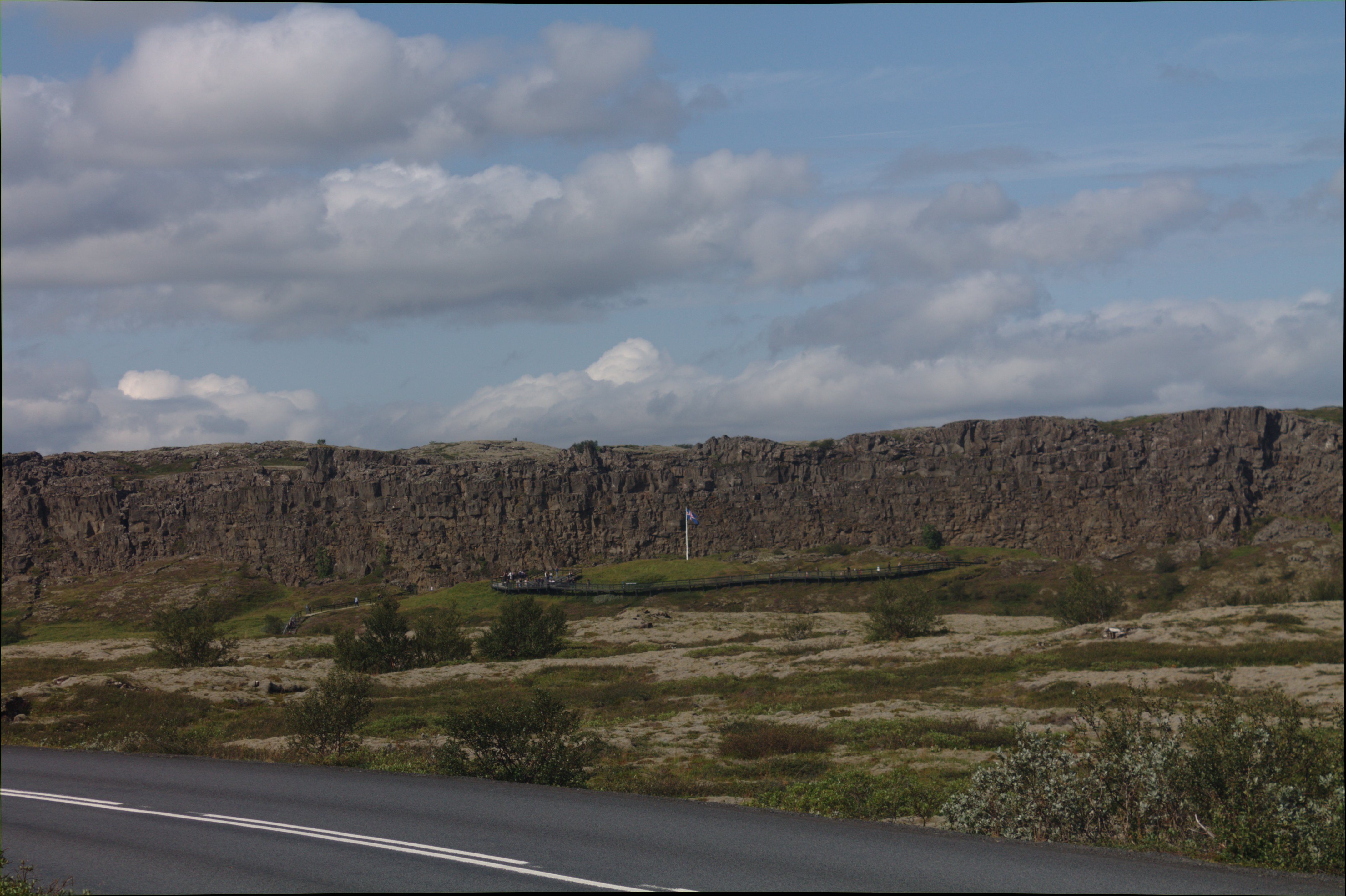
Flag marks the site of the early Althingi - the first democratic council founded in 930 A.D.
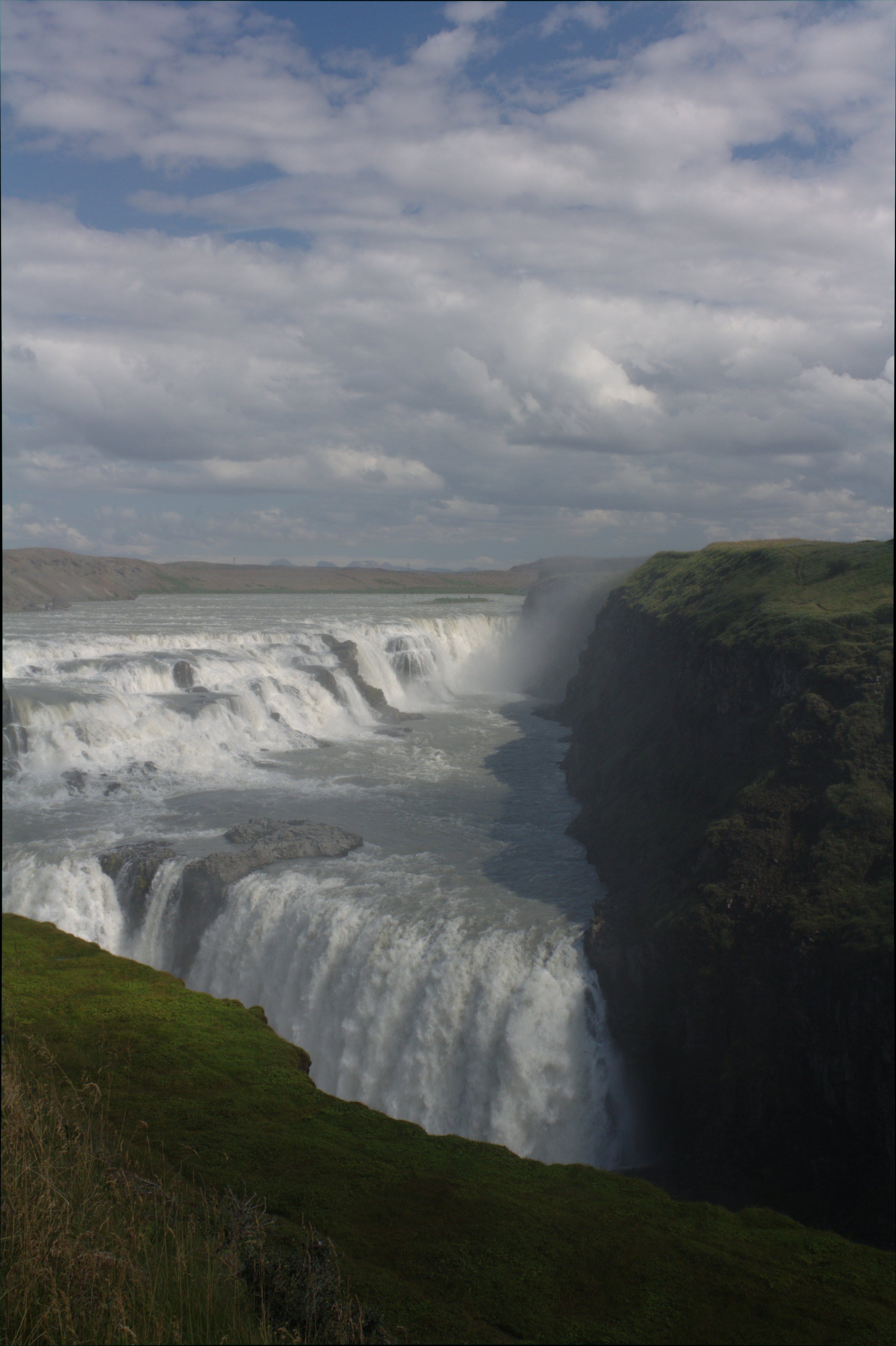
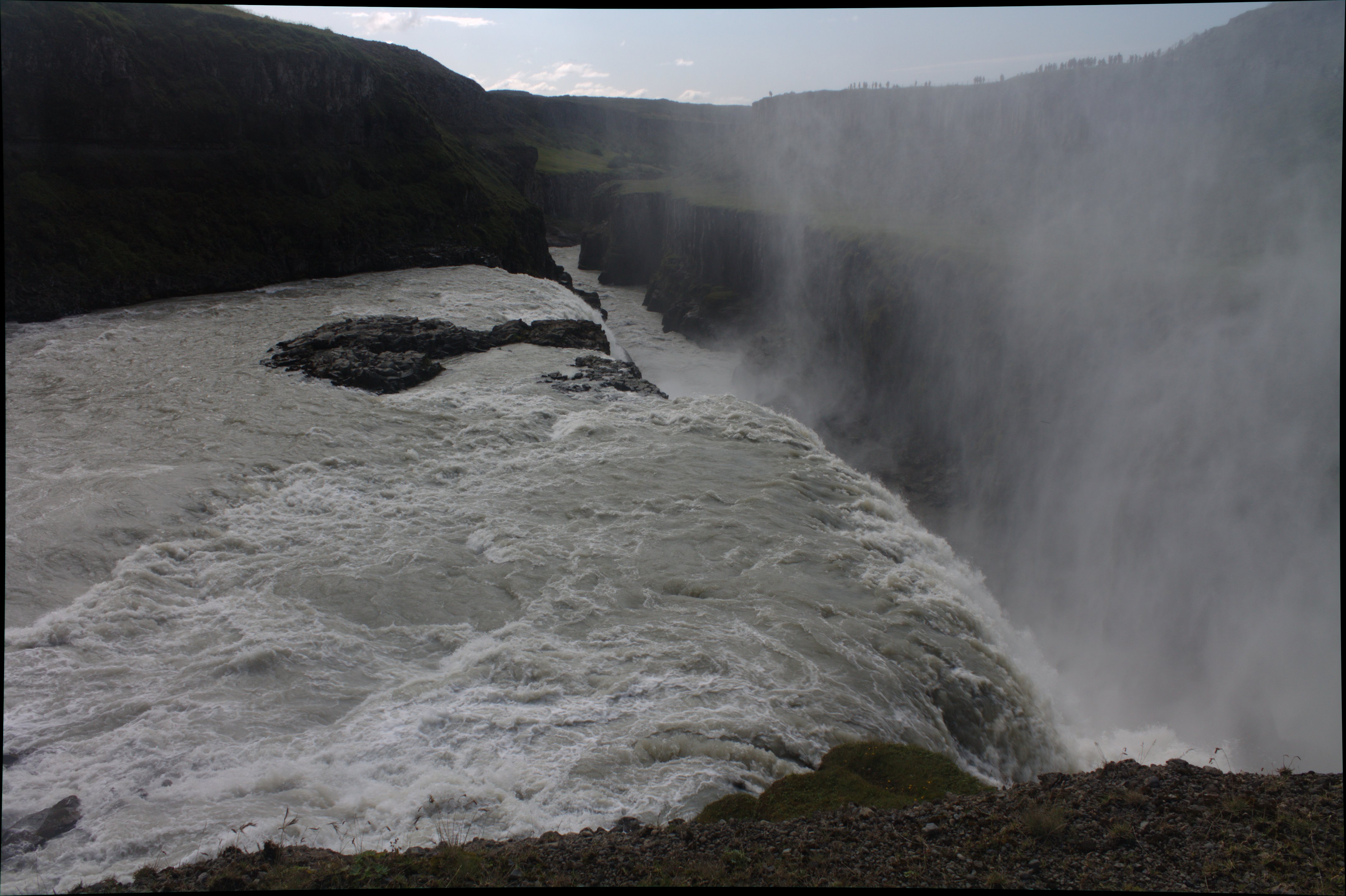
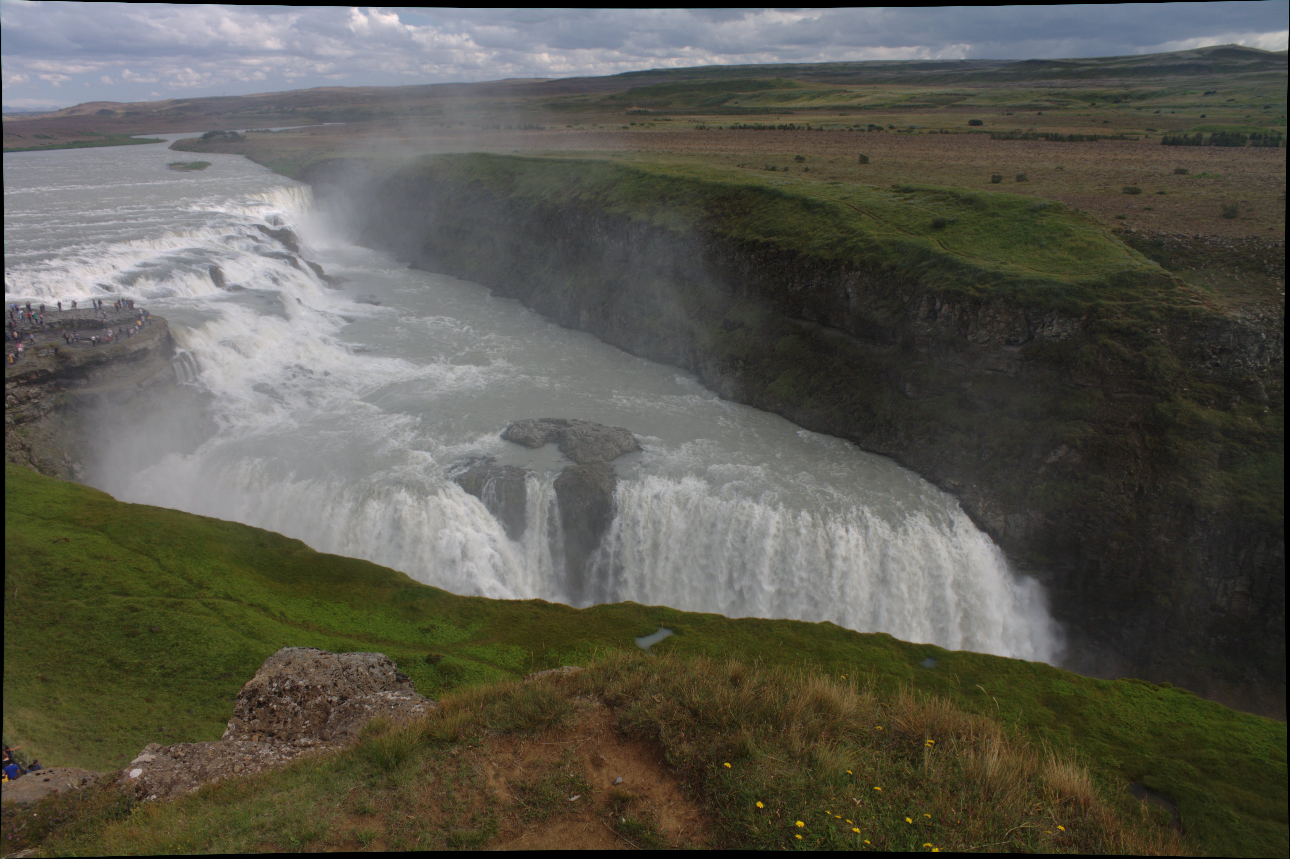
Gullfoss
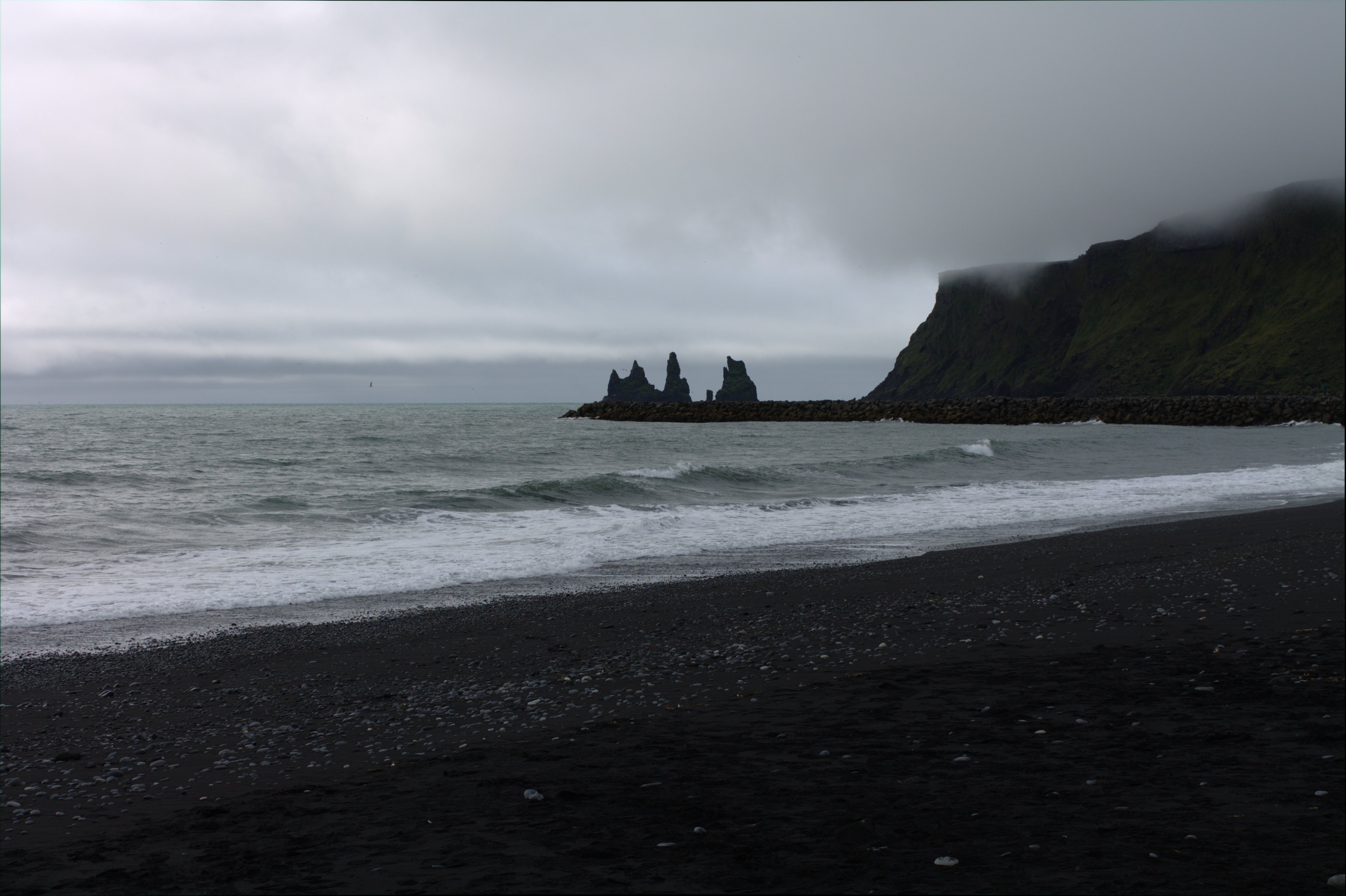
Black sand beach at Vik, Iceland.
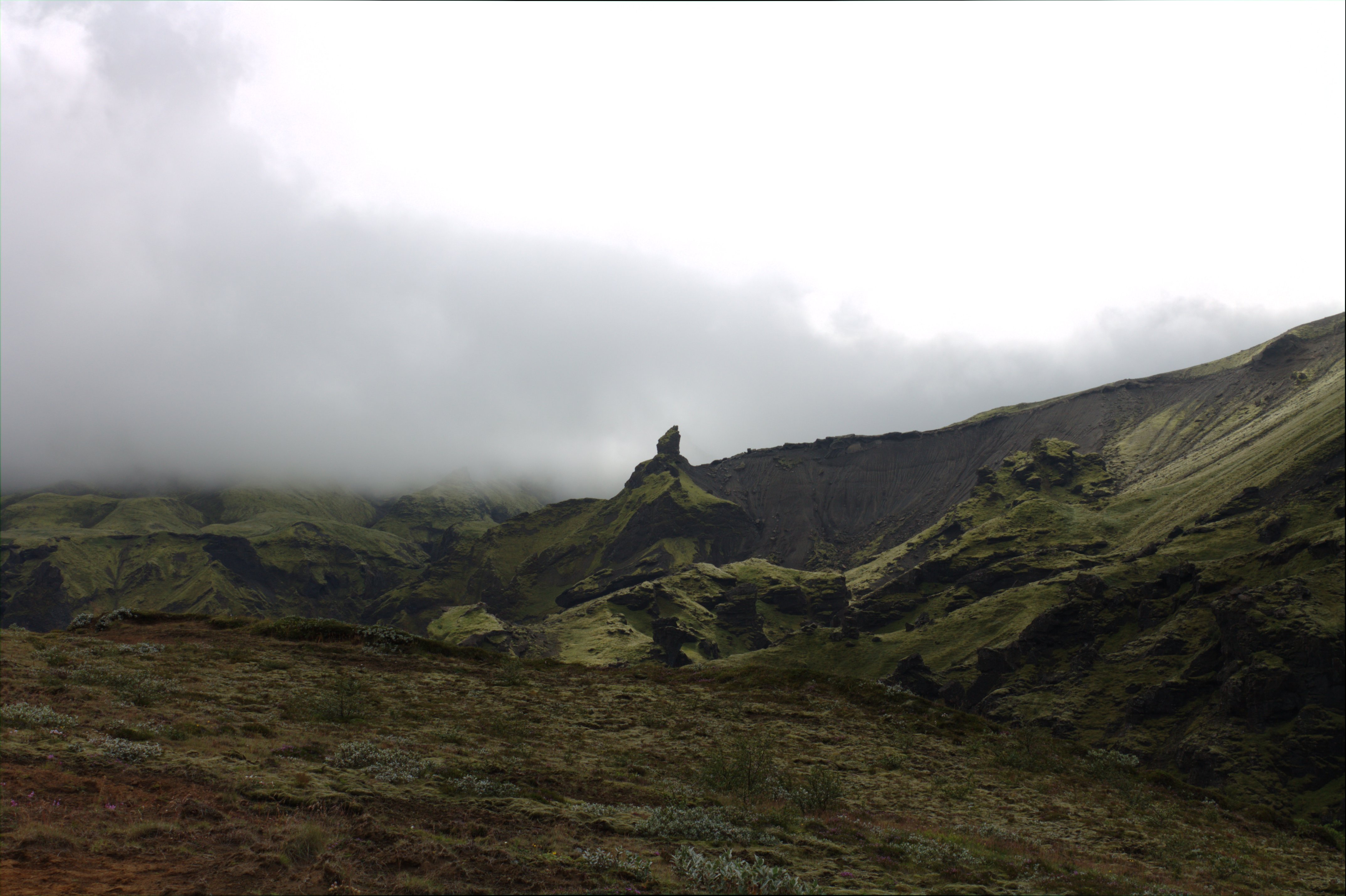
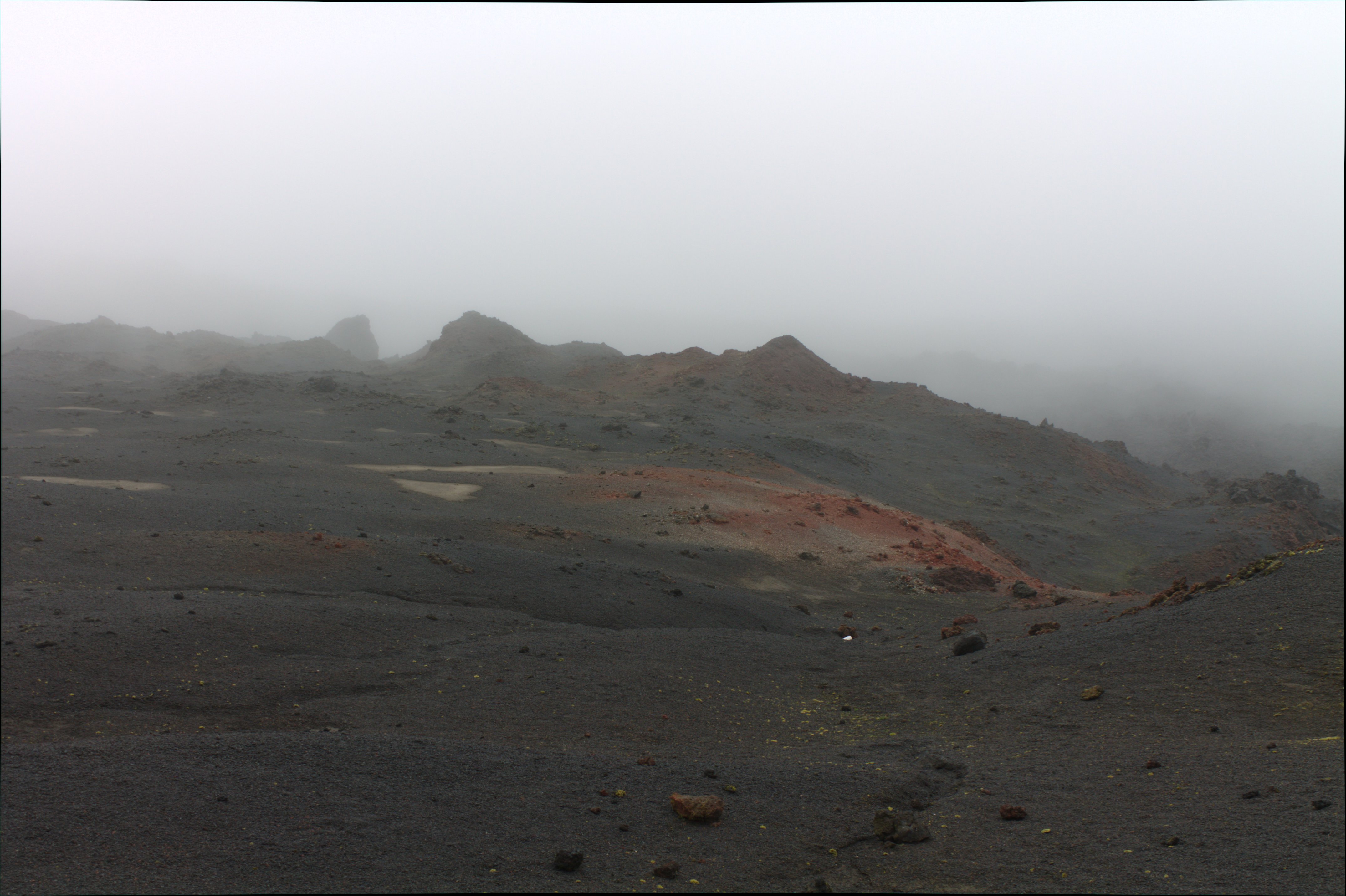
Hiking up Eyjafjallajokull.
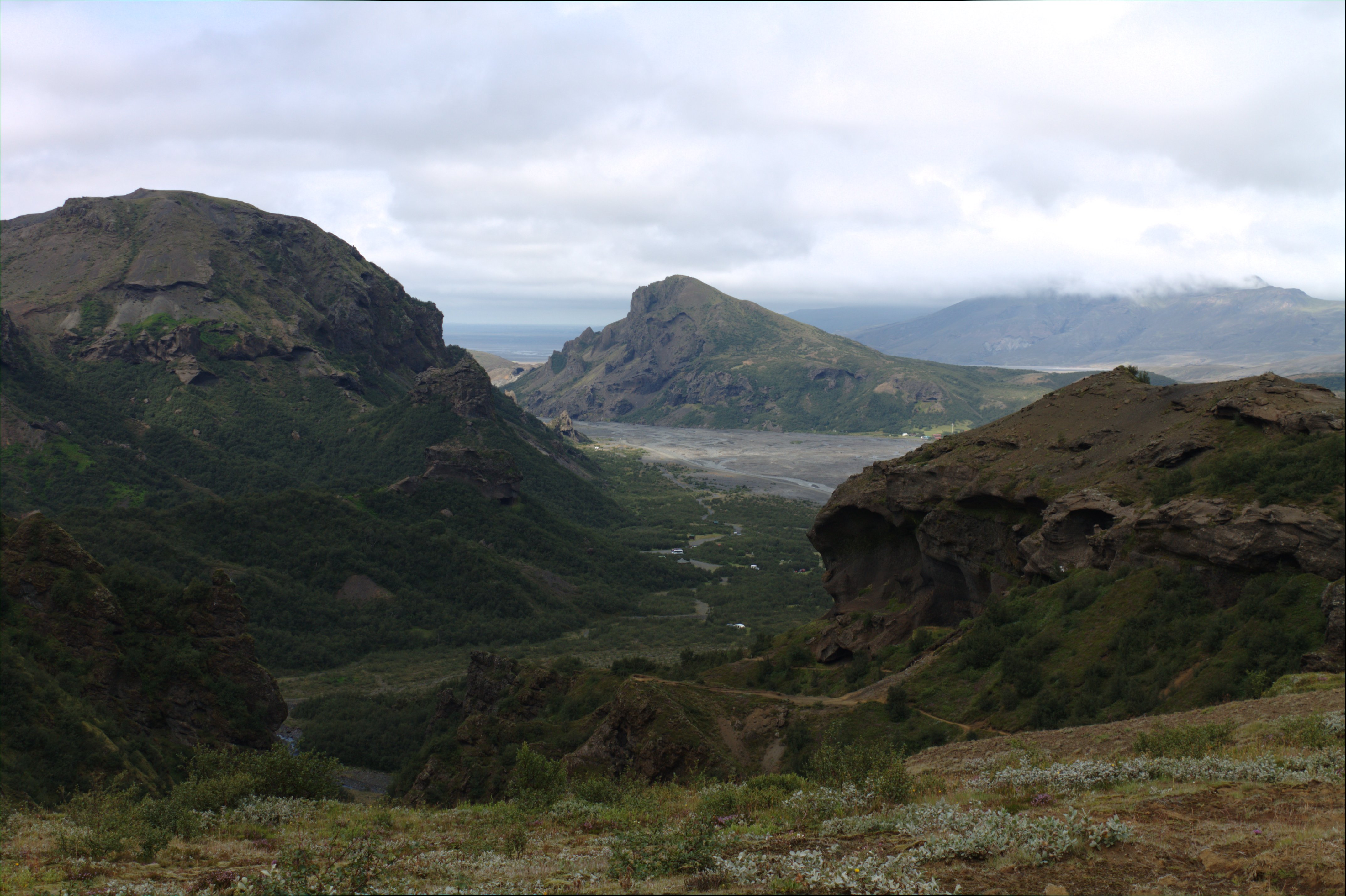
View back down the trail. The river bed is visible in the distance.
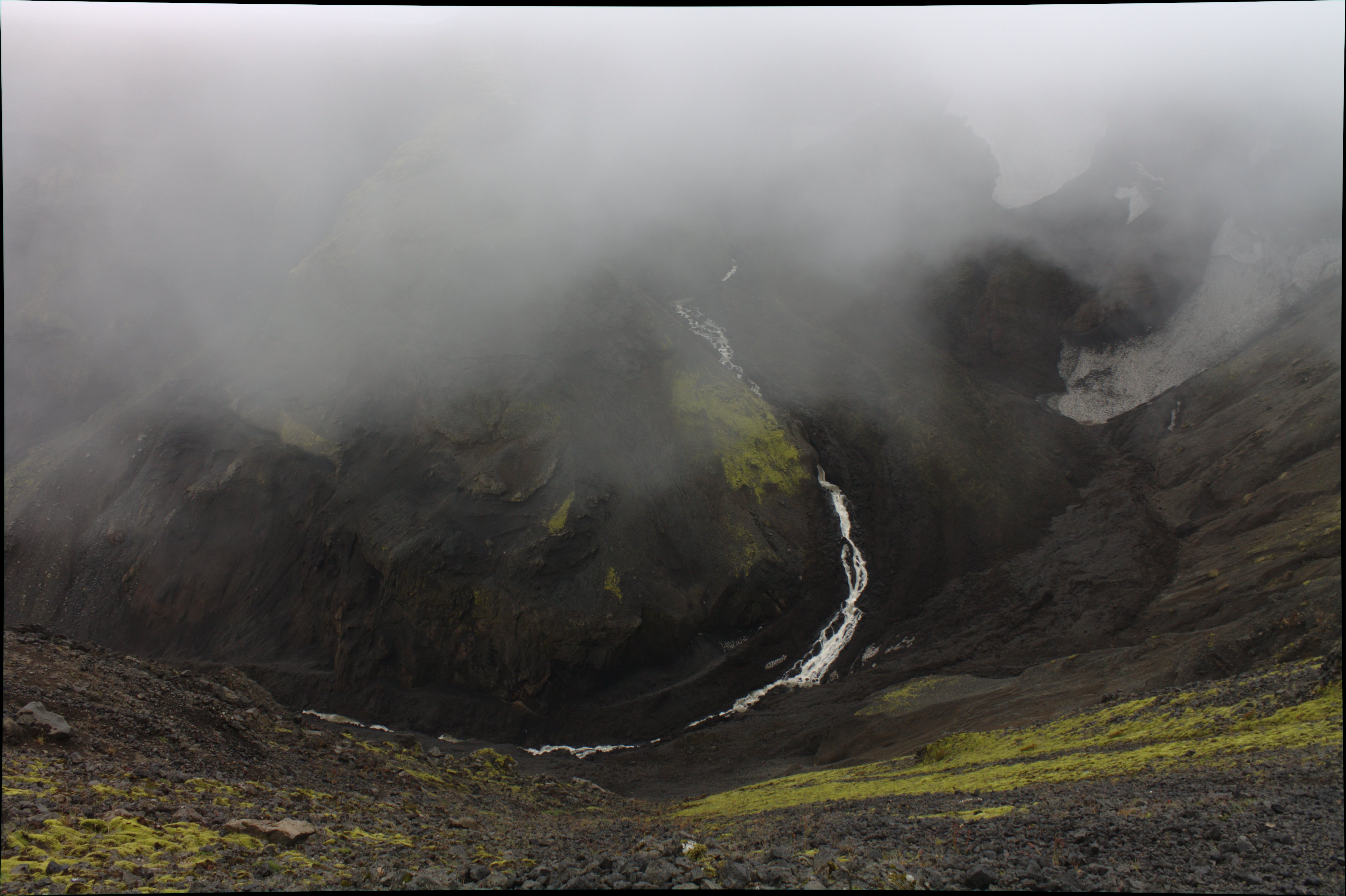
Hiking in Eyjafjallajokull.
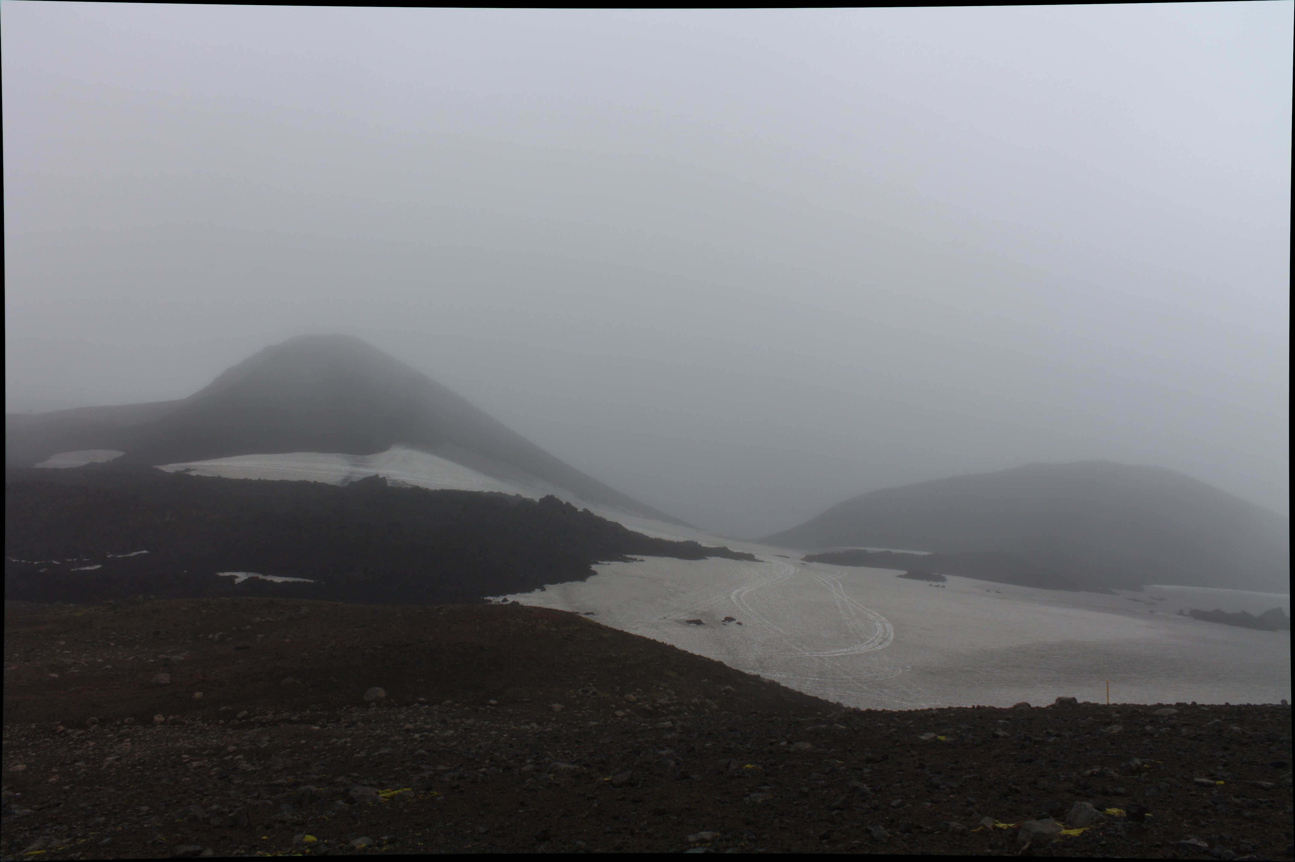
Near the summit.
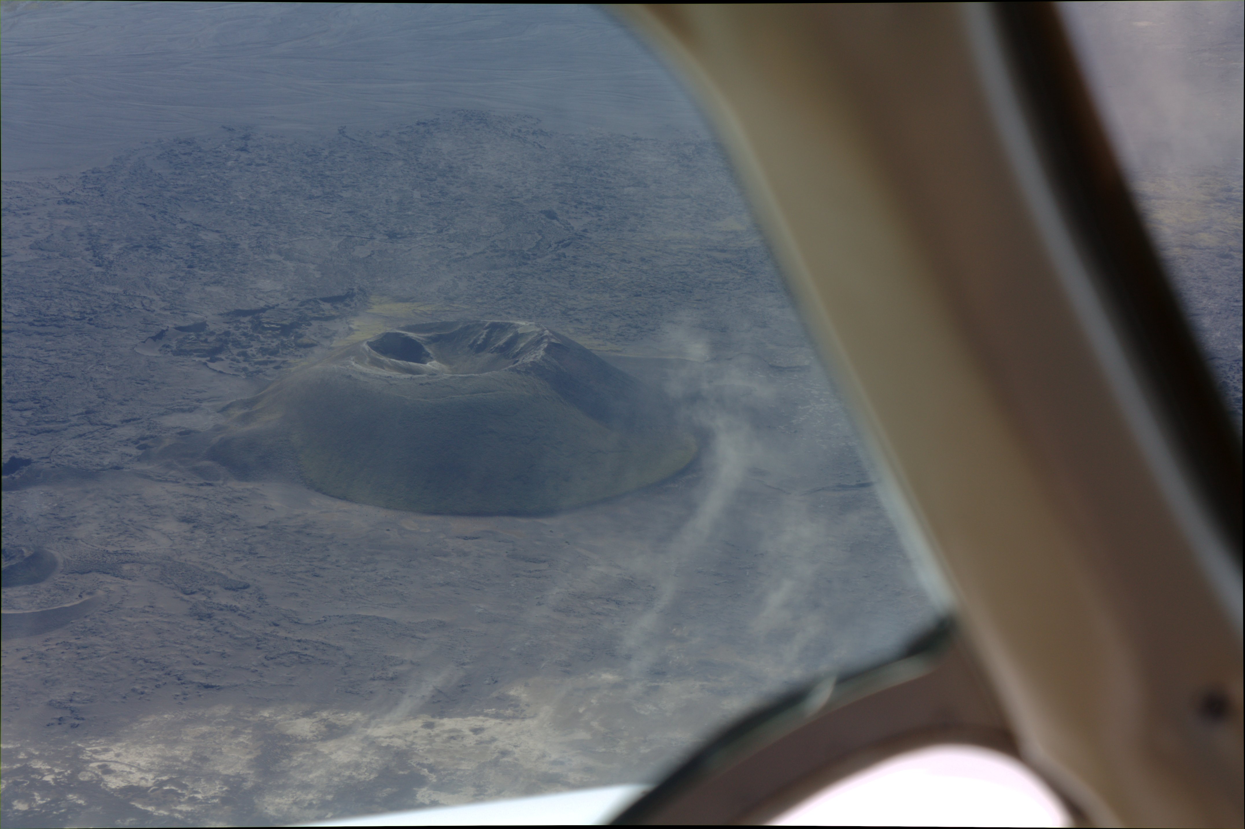
This active volcano erupted on March 20, 2010 and again on April 14, 2010
which shut down air travel between Europe and North America.
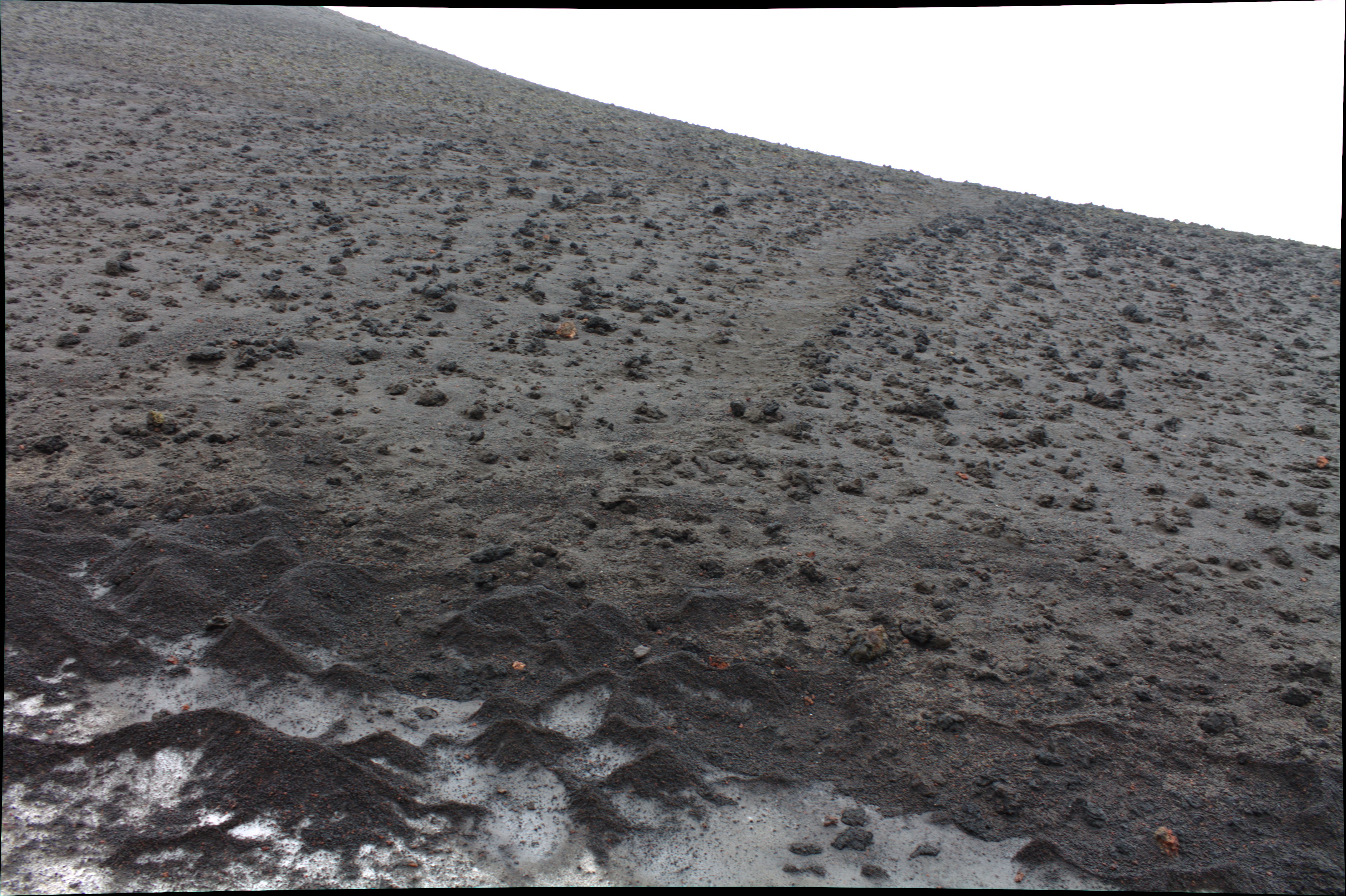
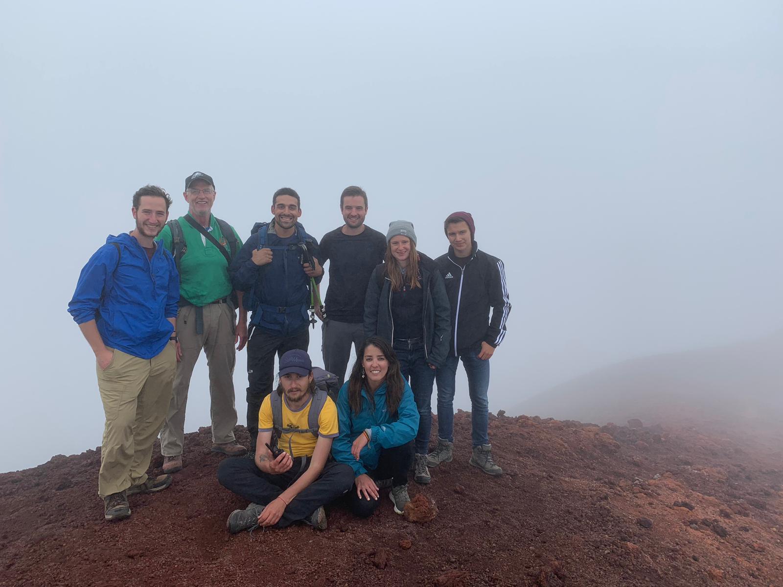
At the summit.
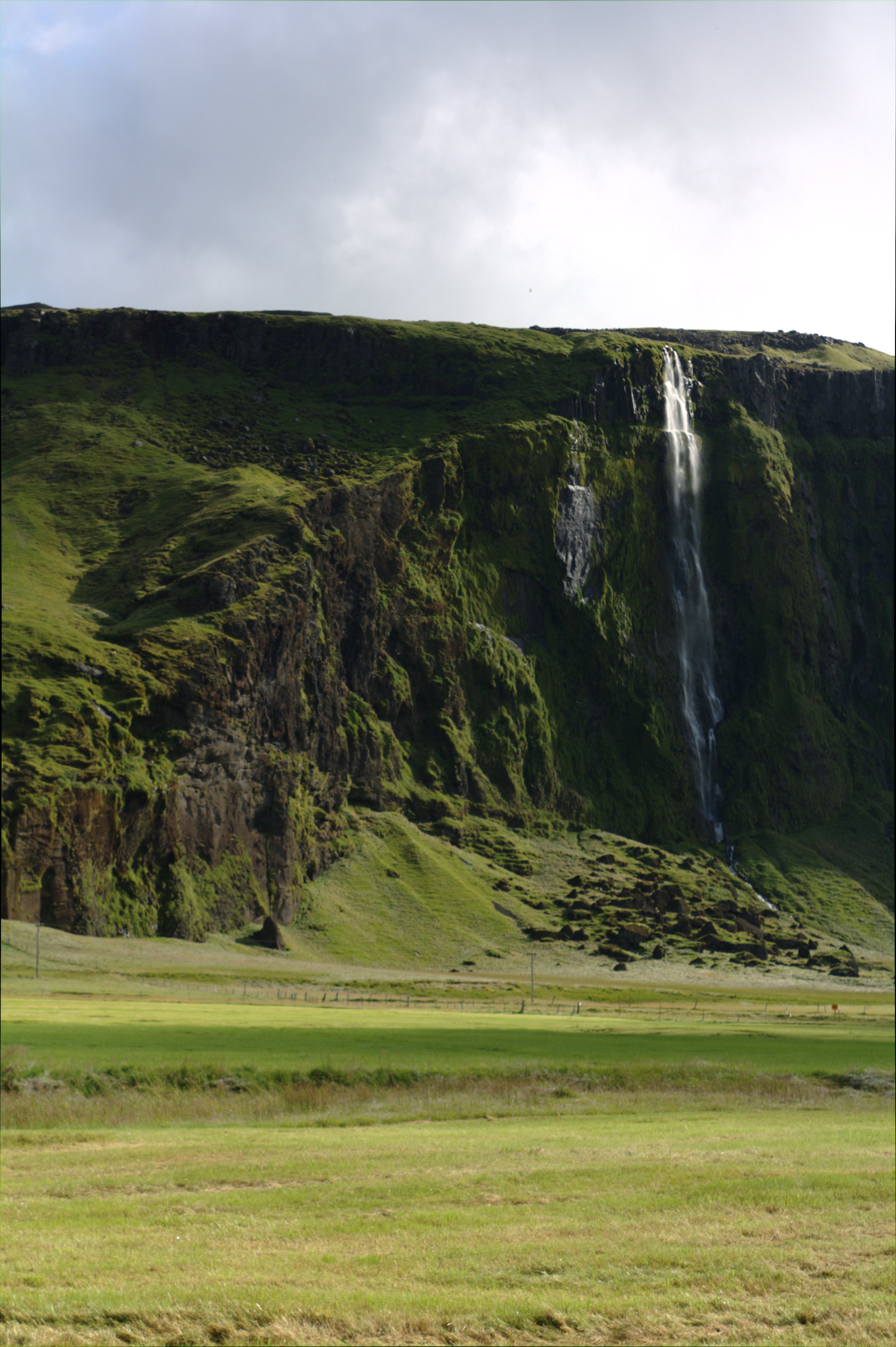
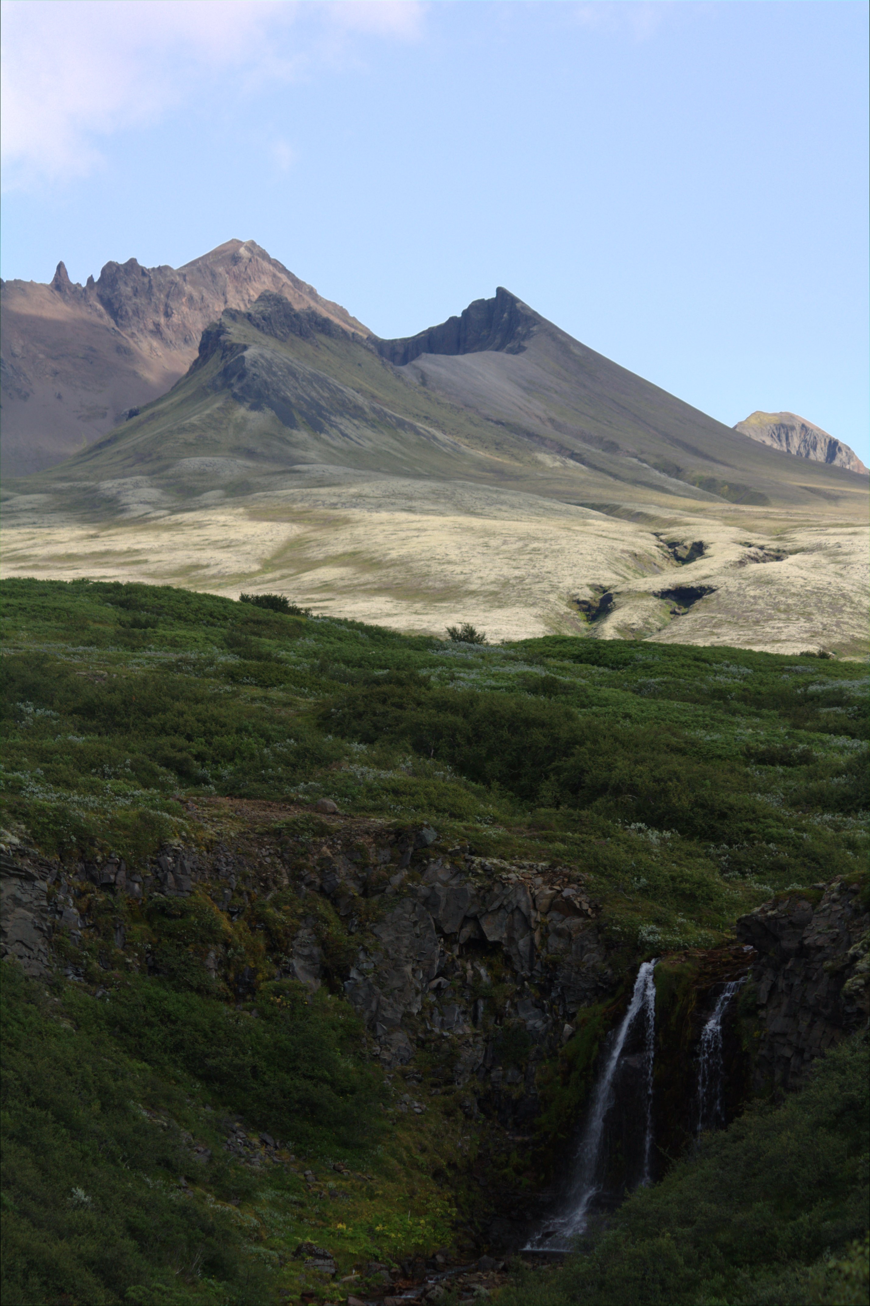
Waterfall seen from the Ring Road.
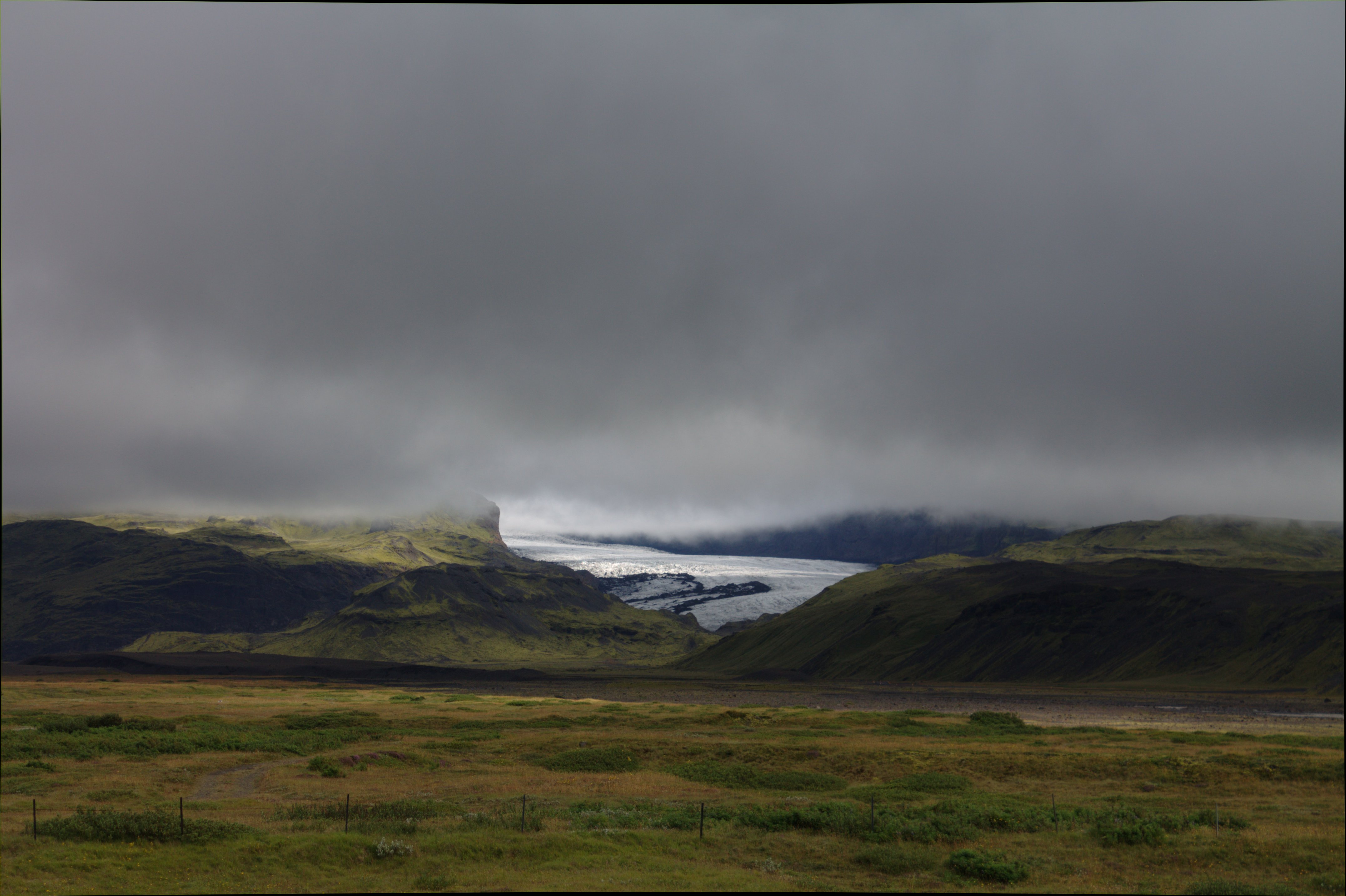
Glacier descending from ice cap.
Black sand beach in Vik.
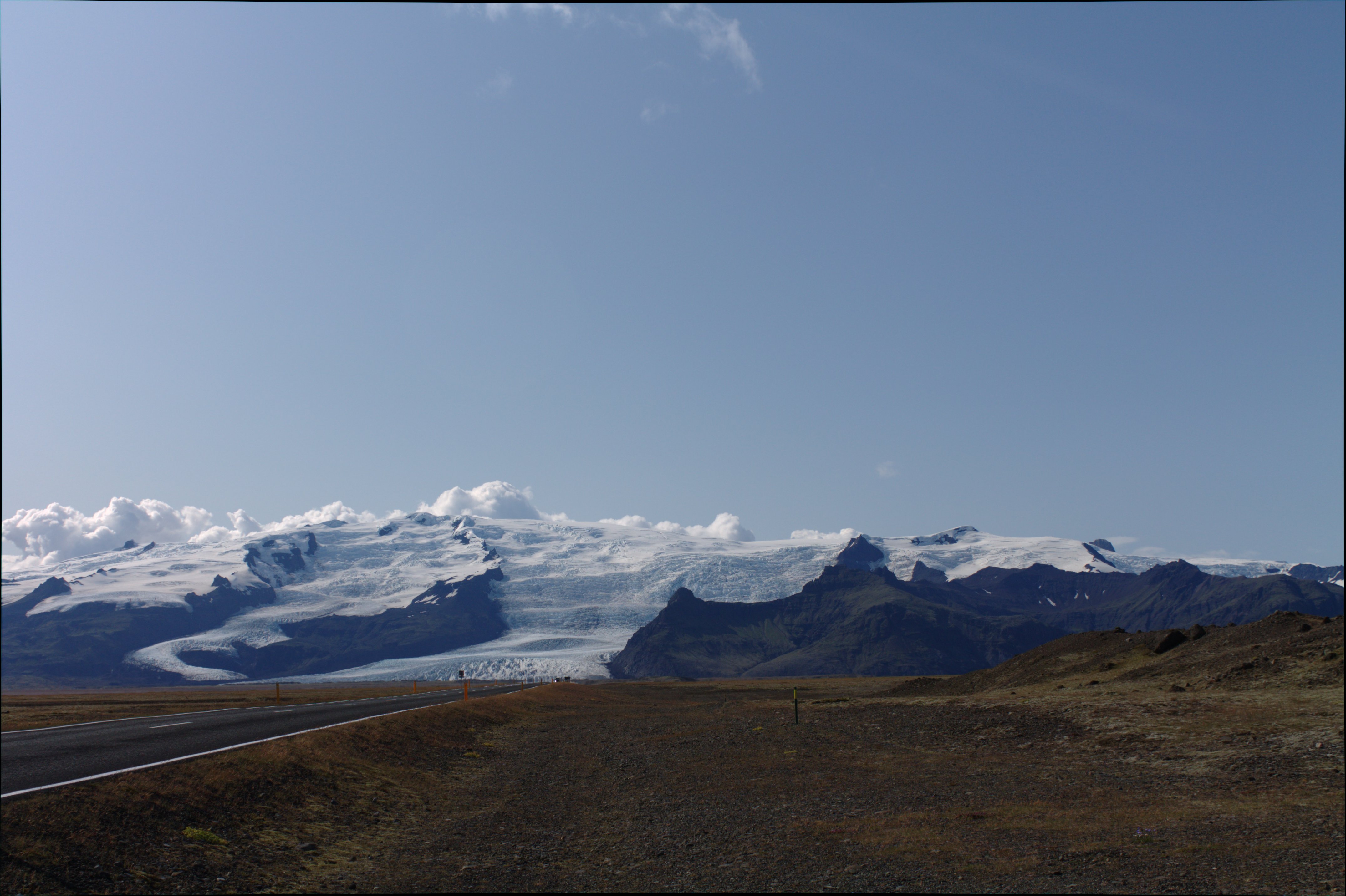
More glaciers descending from the ice cap from the Ring Road.
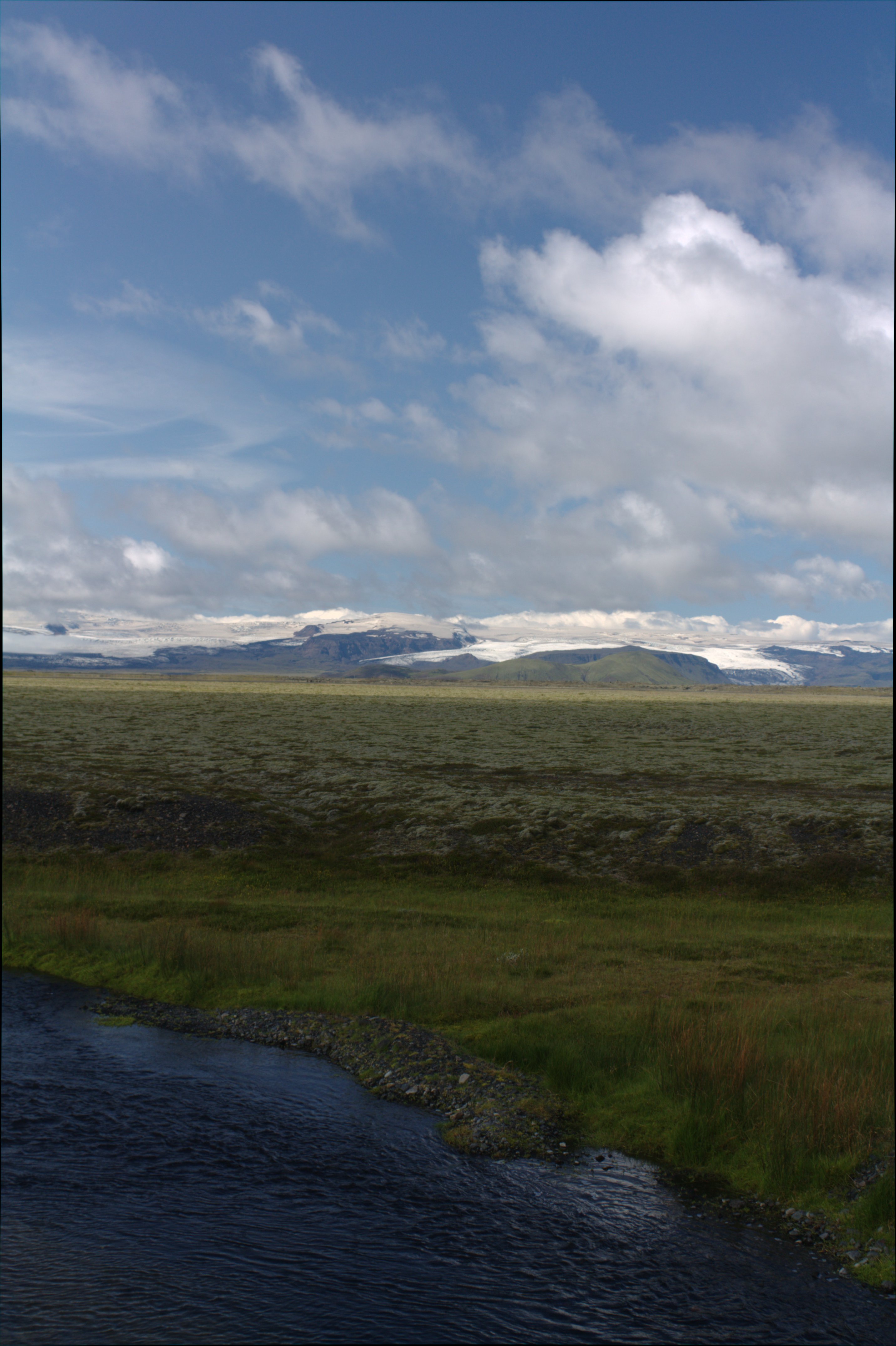
View from the entrance to Vatnajokull National Park.
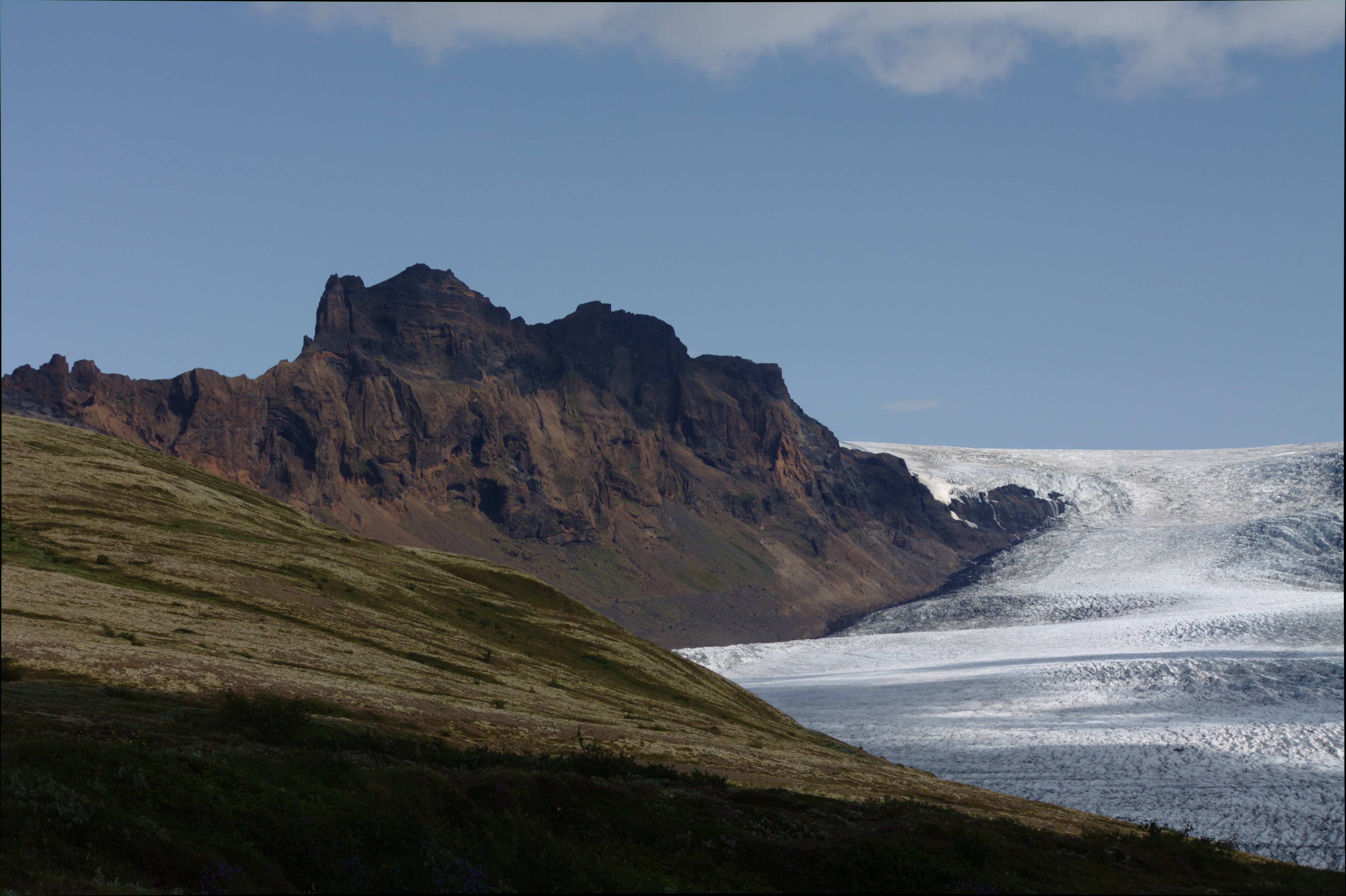
Skaftafell is to the right and Haoldukvisl glacier is to the left.
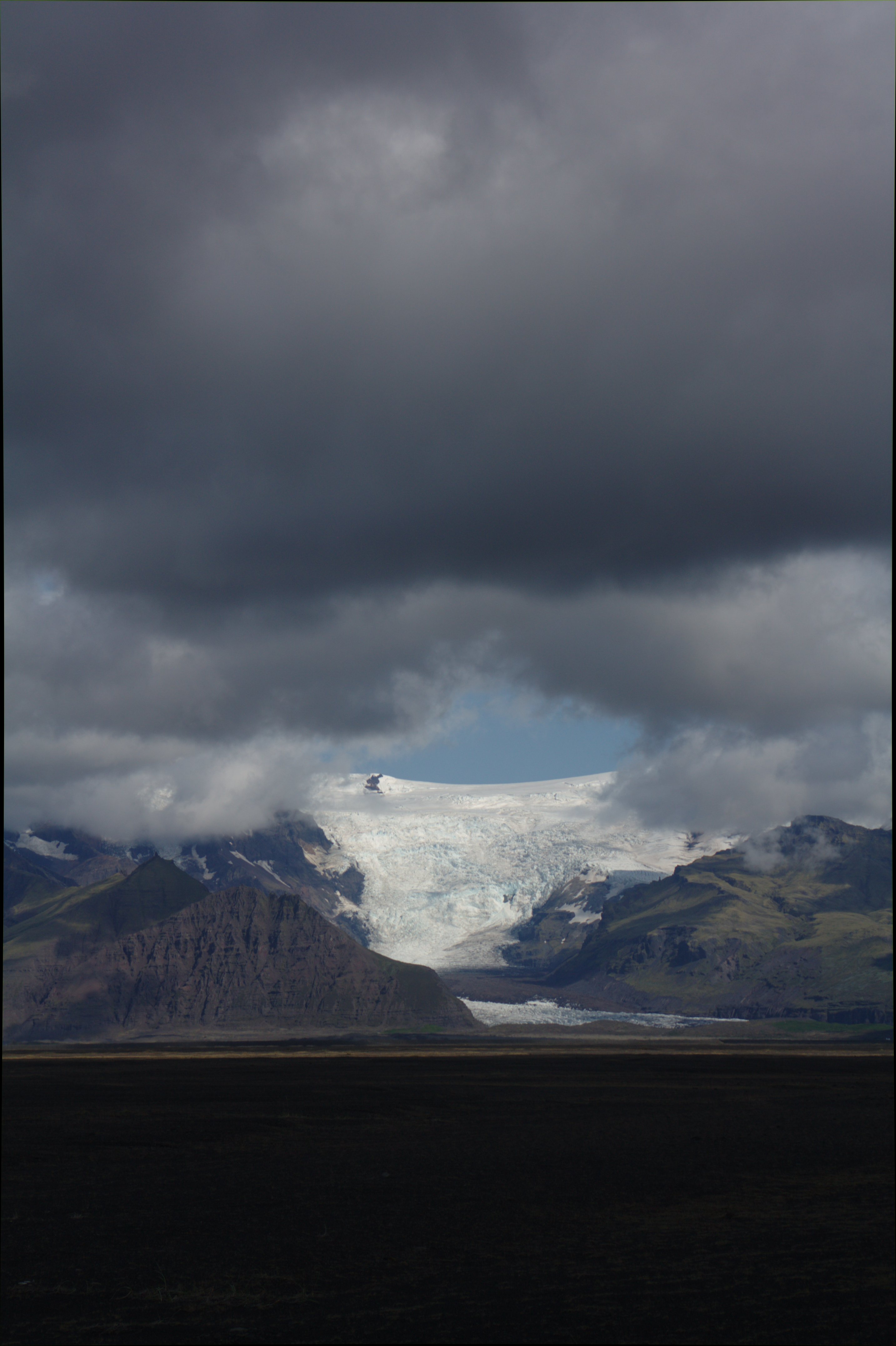
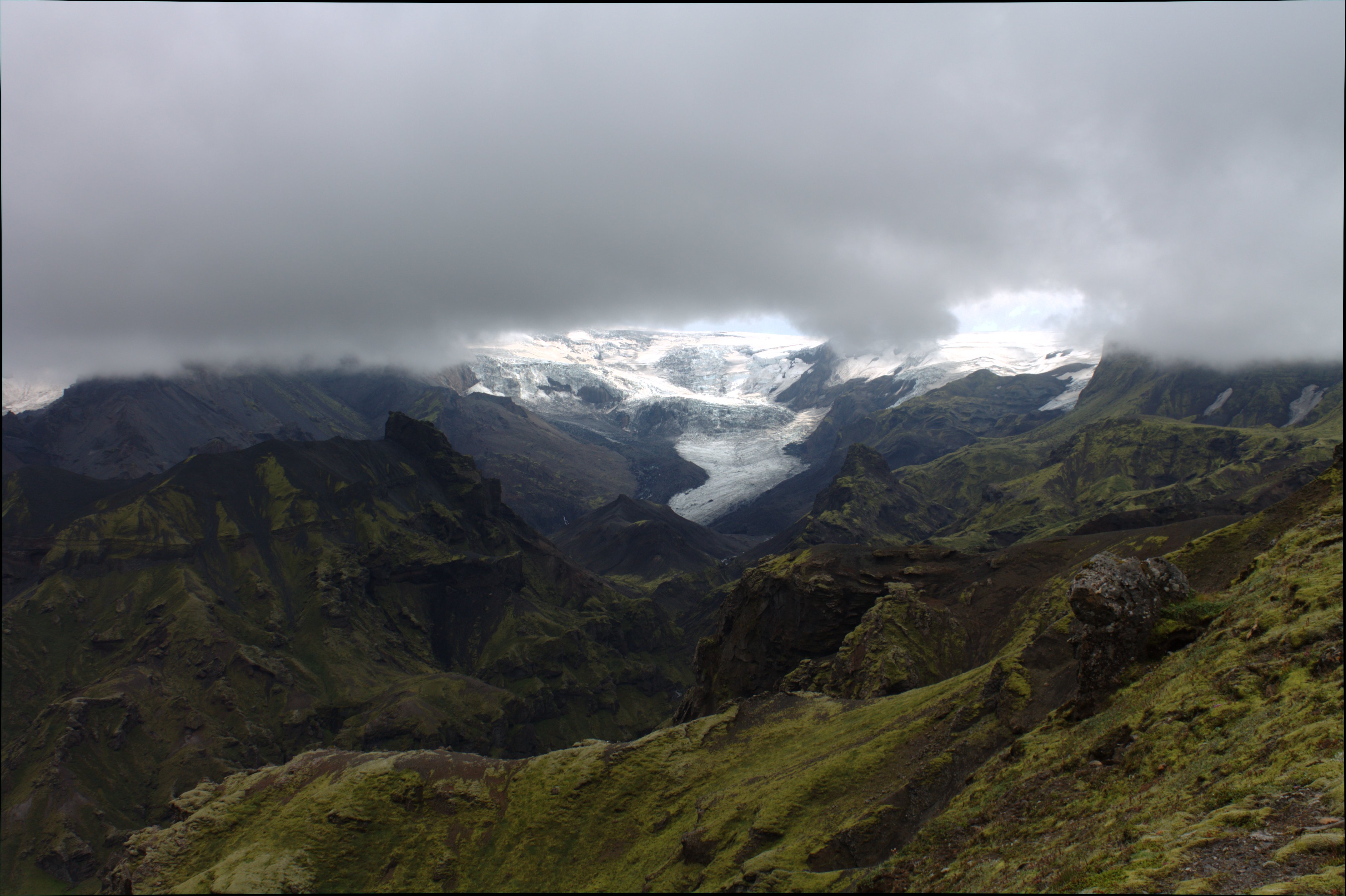
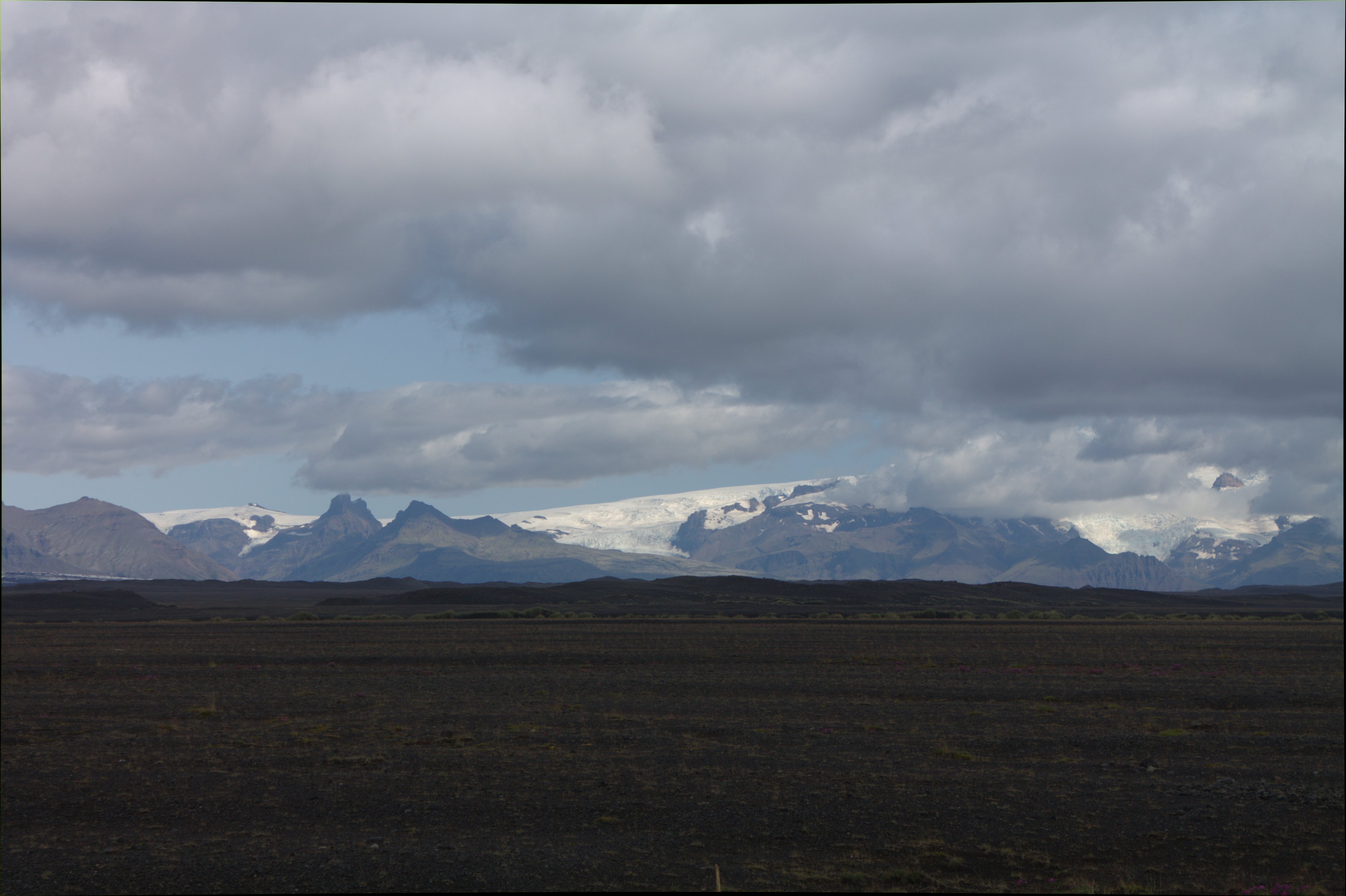
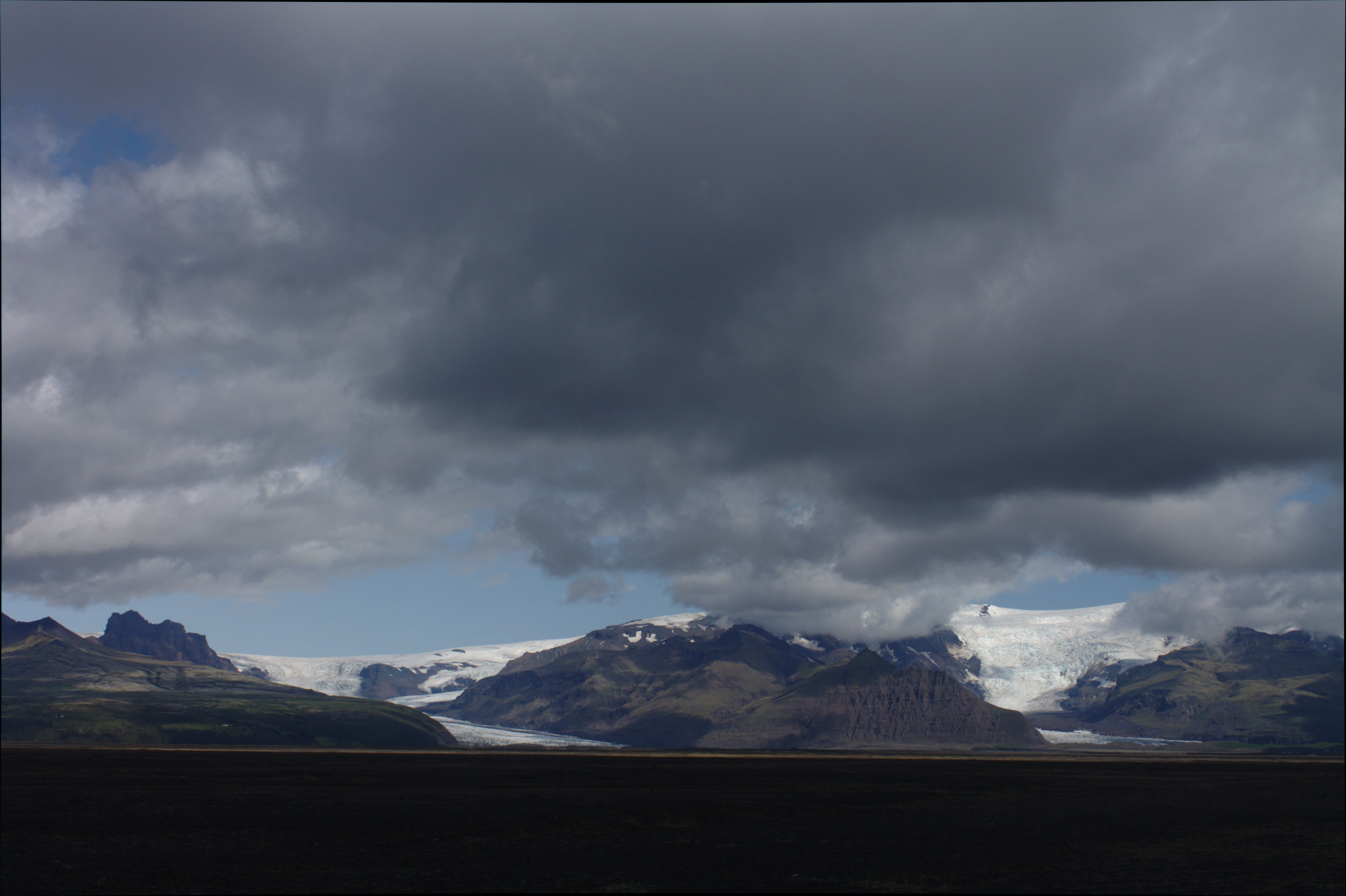
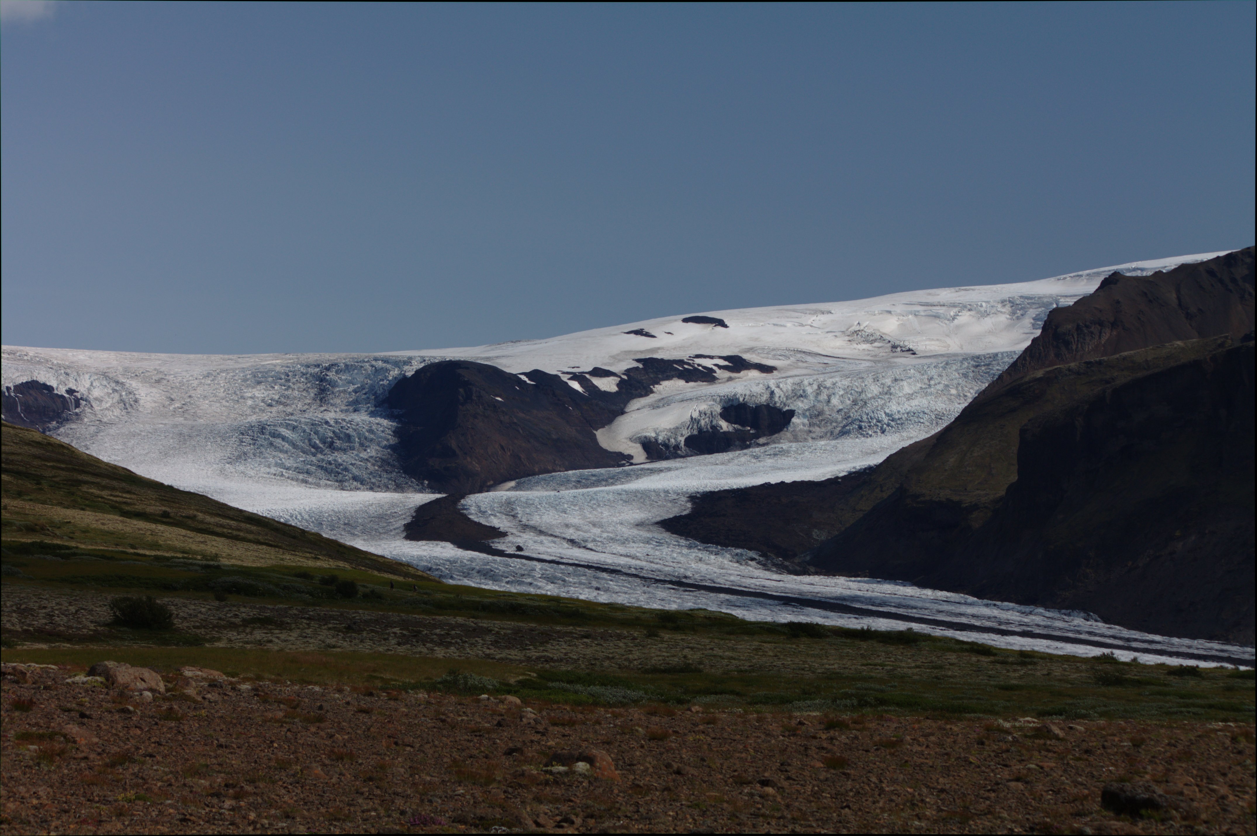
Skaftafell Glacier in the distance.
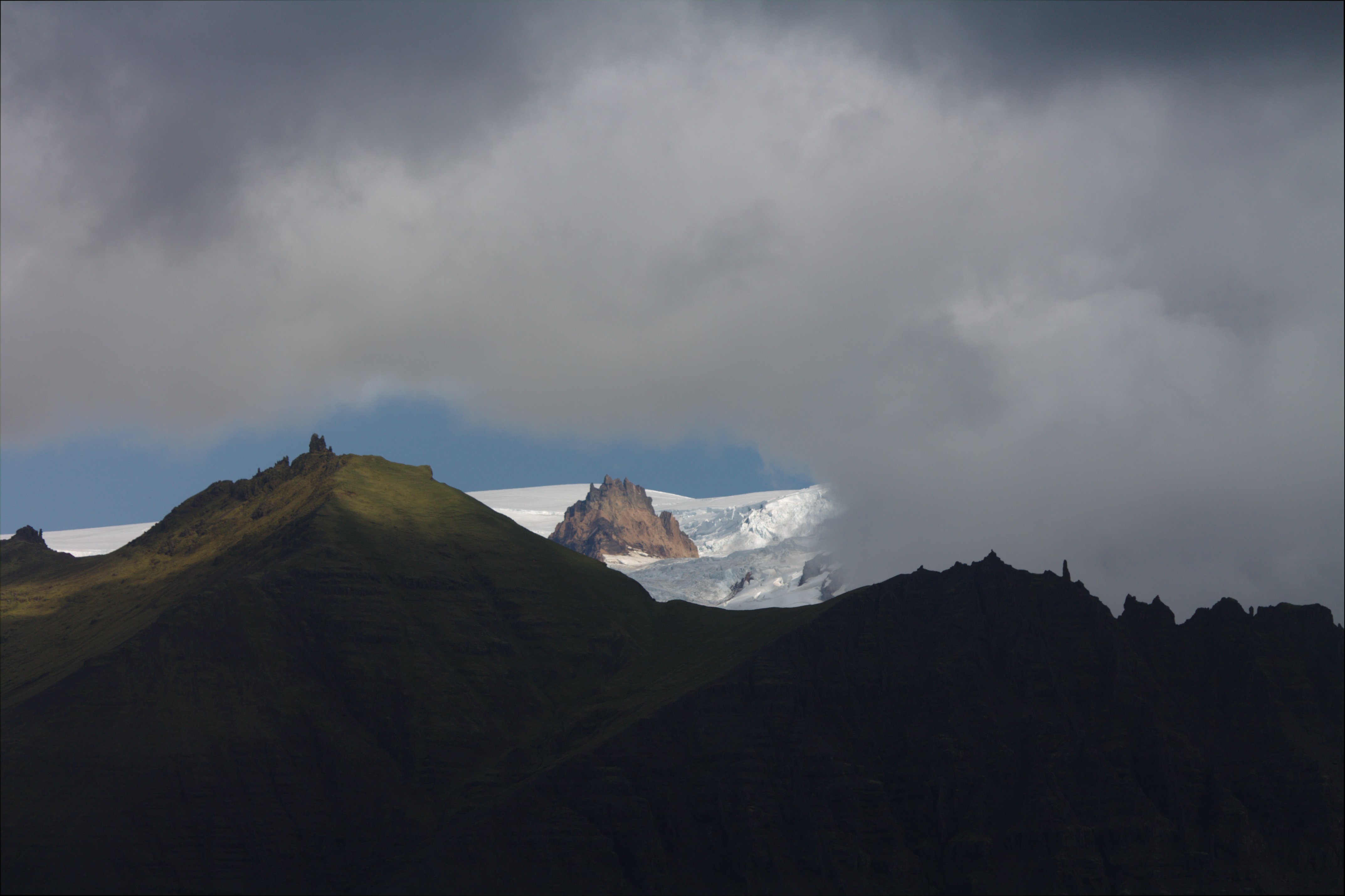
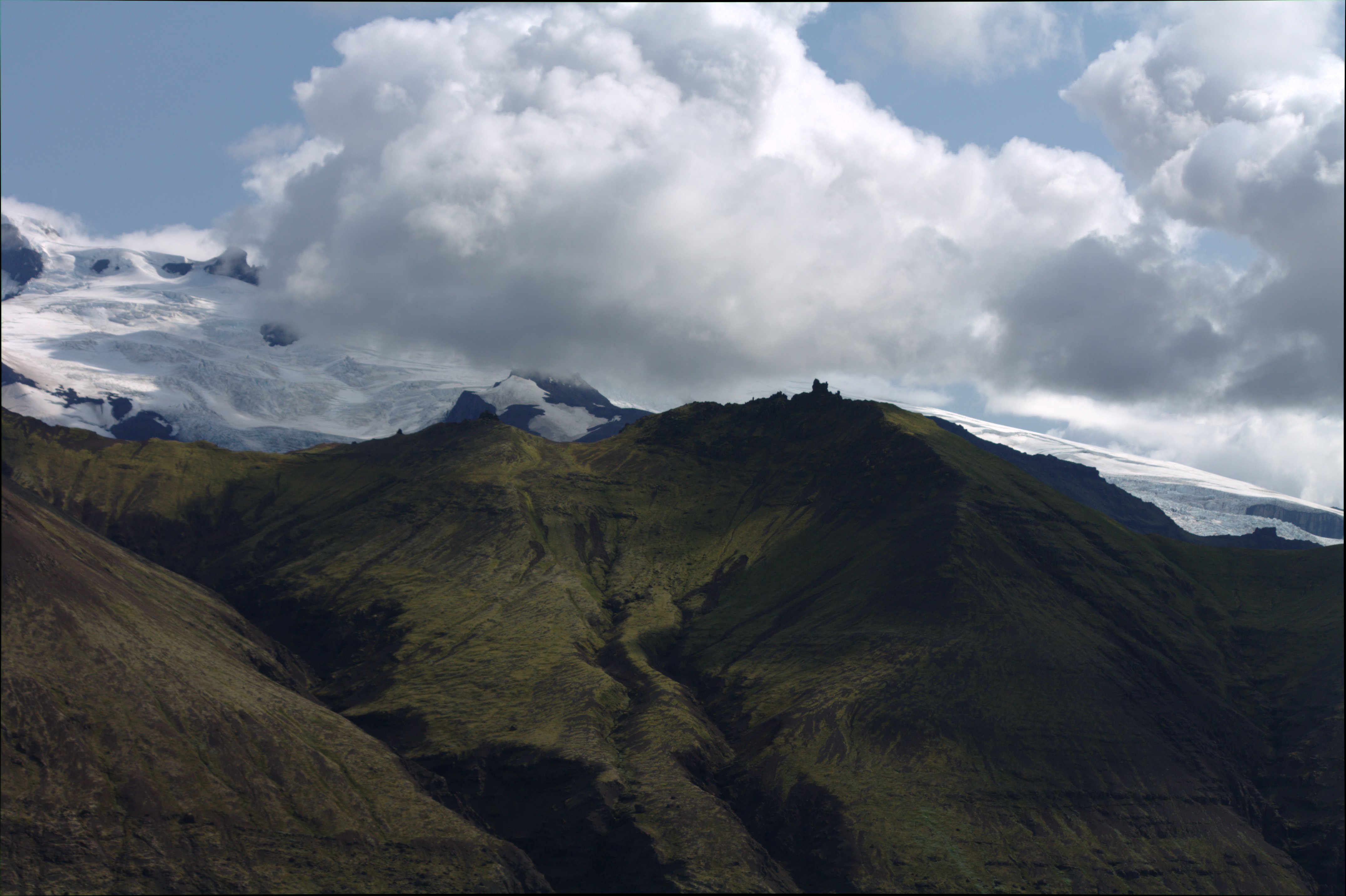
Top of Skaftafell under the clouds.
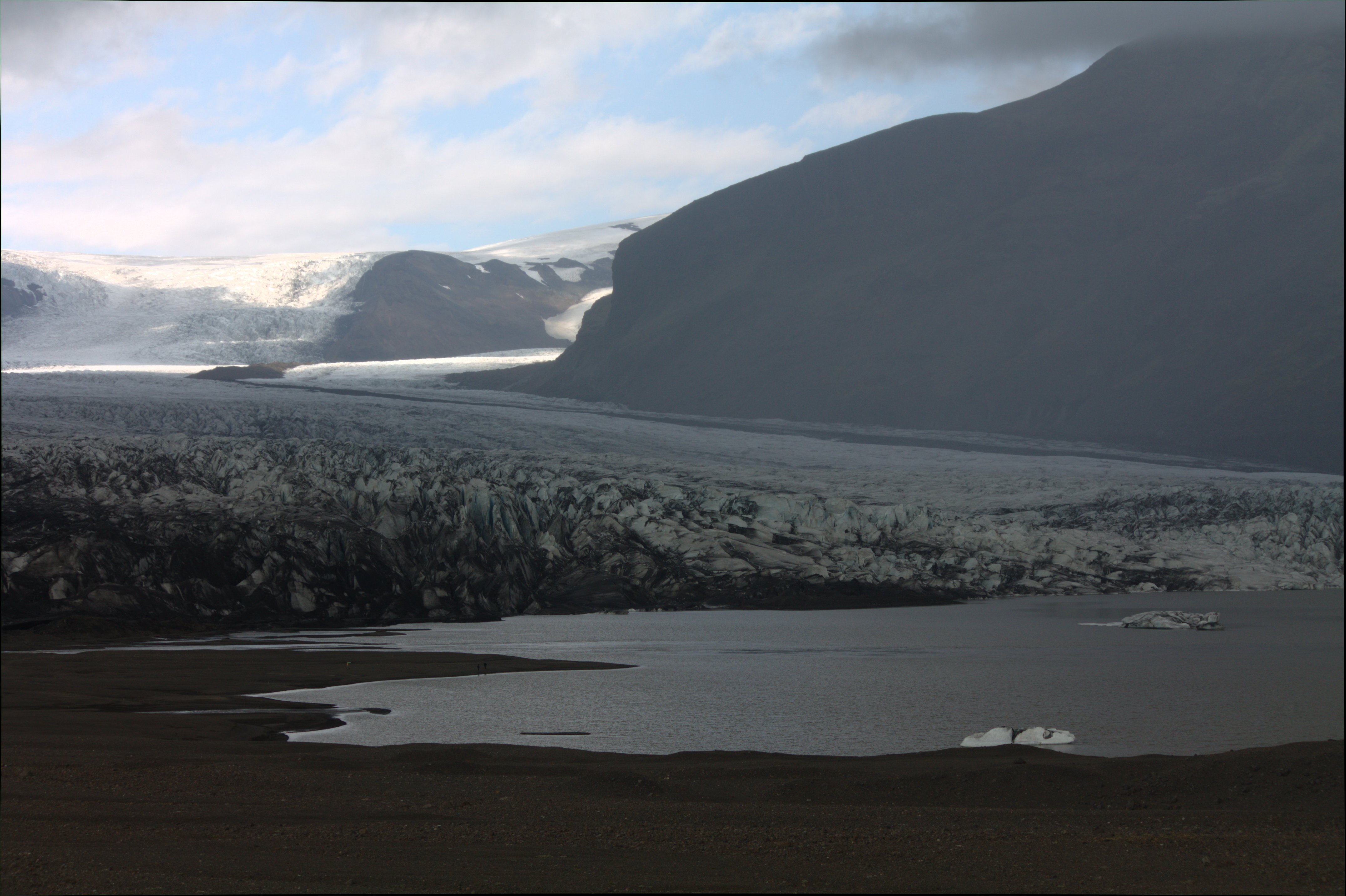
Glacial pond at the toe of Skaftafell.
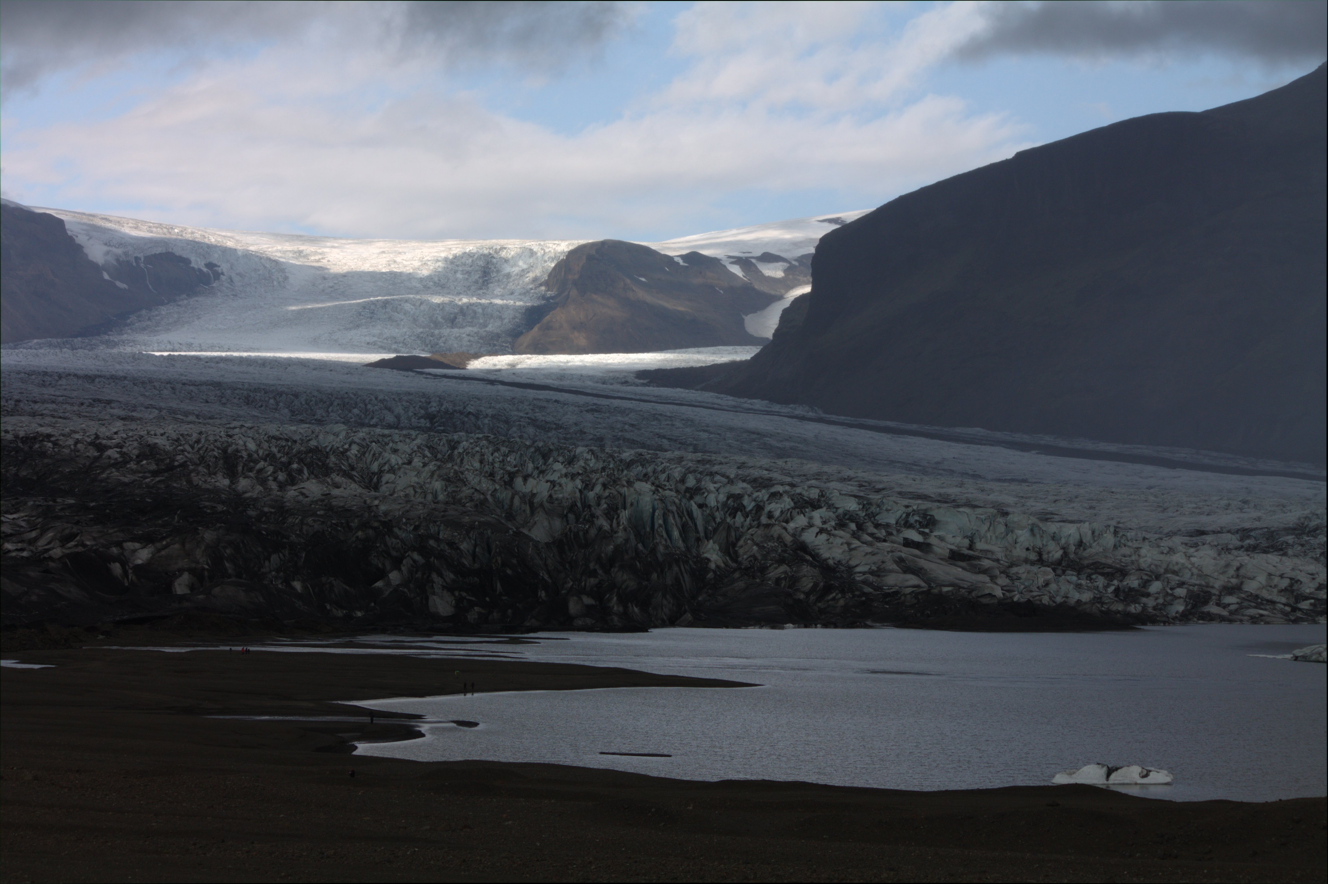
Glacial lake at the foot of Skaftafell Glacier in Vatnajokull.
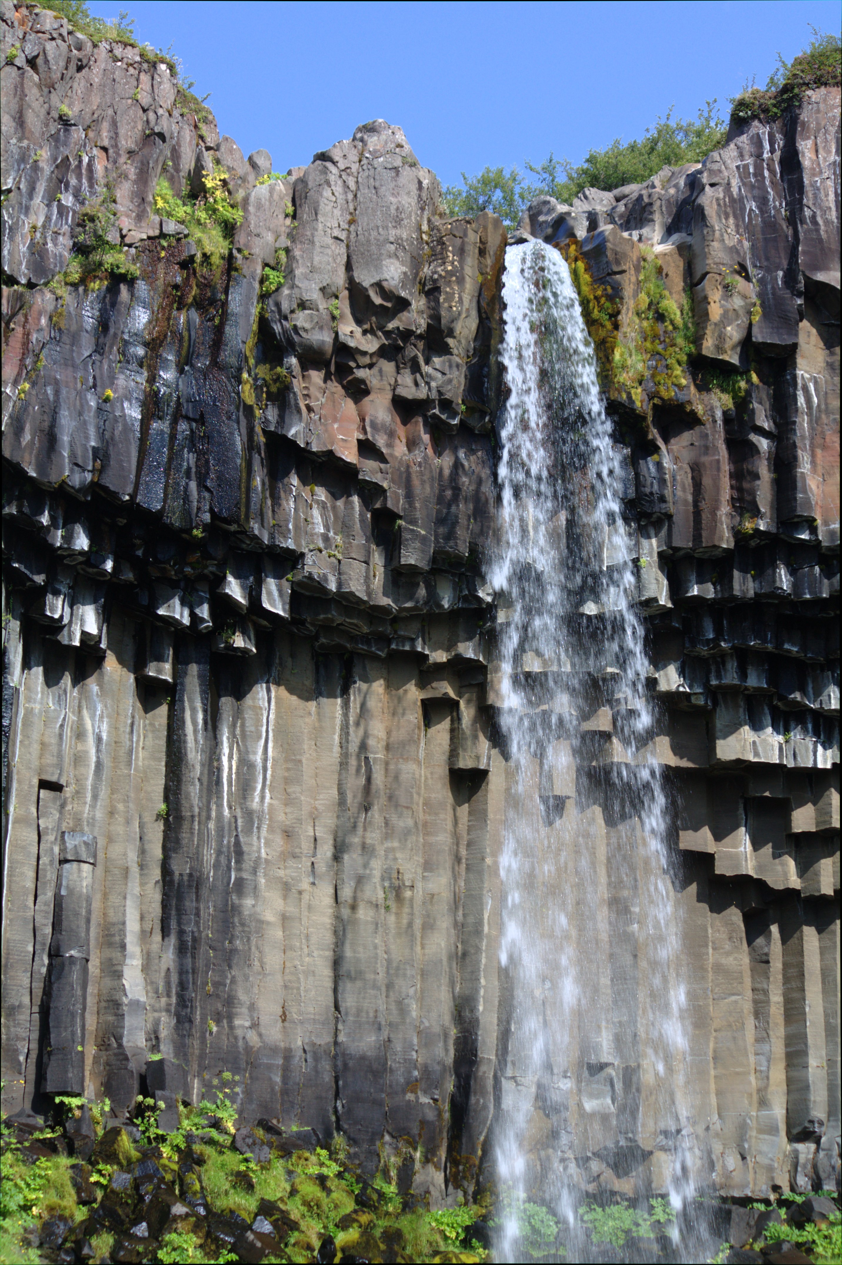
Svartifoss (Icelandic for "black waterfall") in Vatnajokull
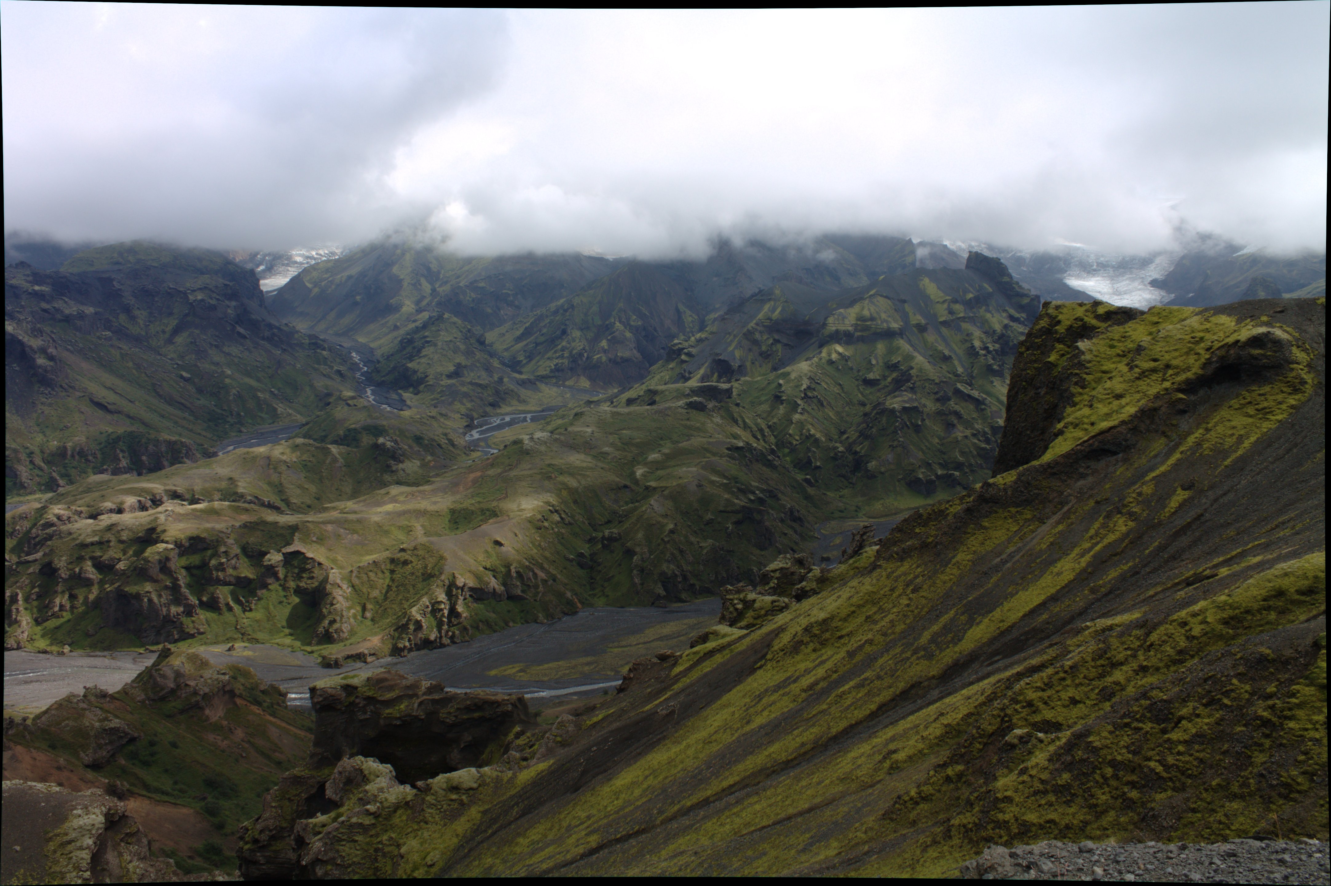
Hiking in Vatnajokull
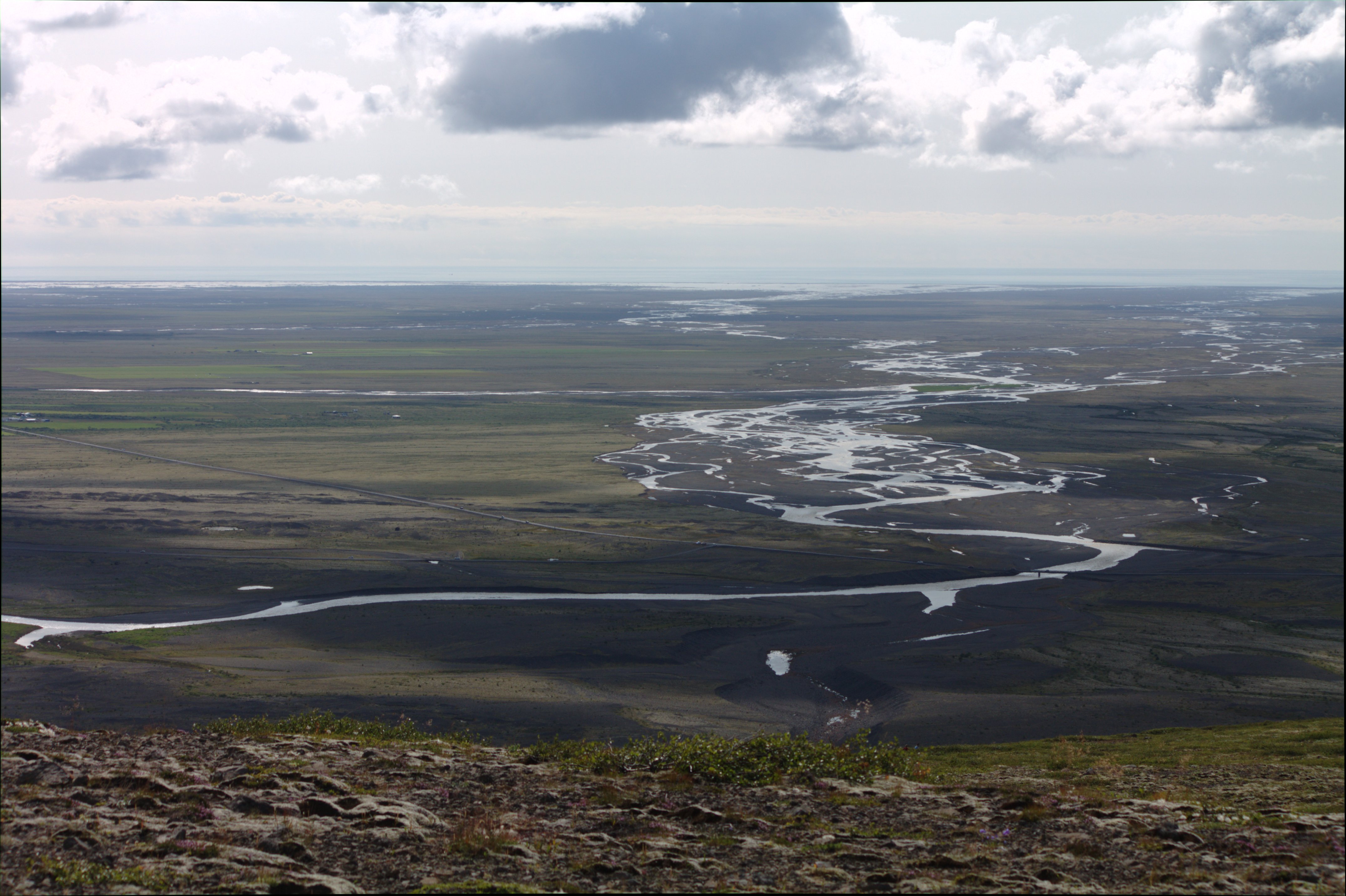
Looking out over the plain reaching to the Atlantic from Vatnajokull.
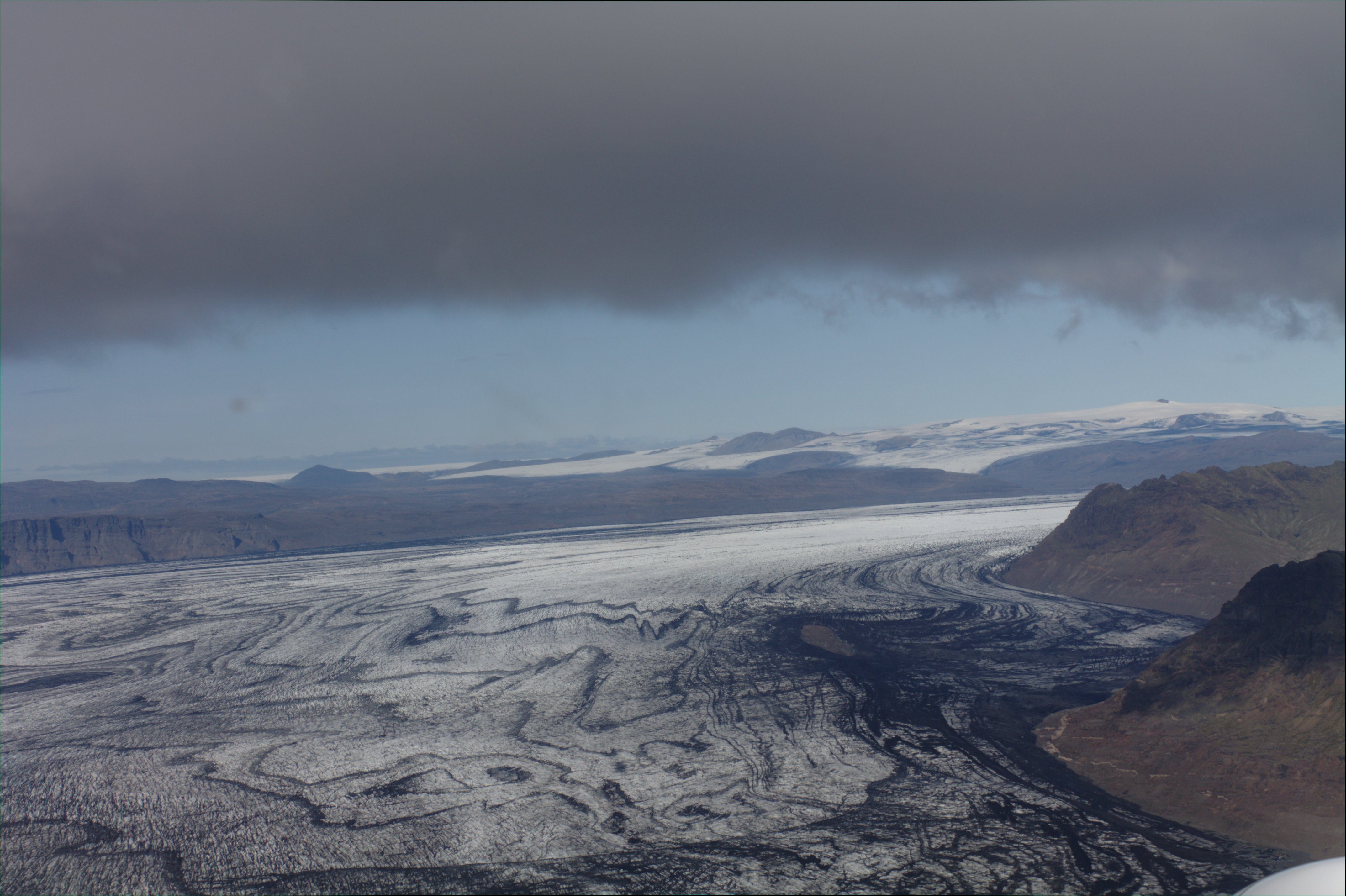
I got on a sightseeing flight over the glaciers and the volcanos.